News
Severe Weather Alert: Blizzard Conditions Expected in Colorado and Iowa
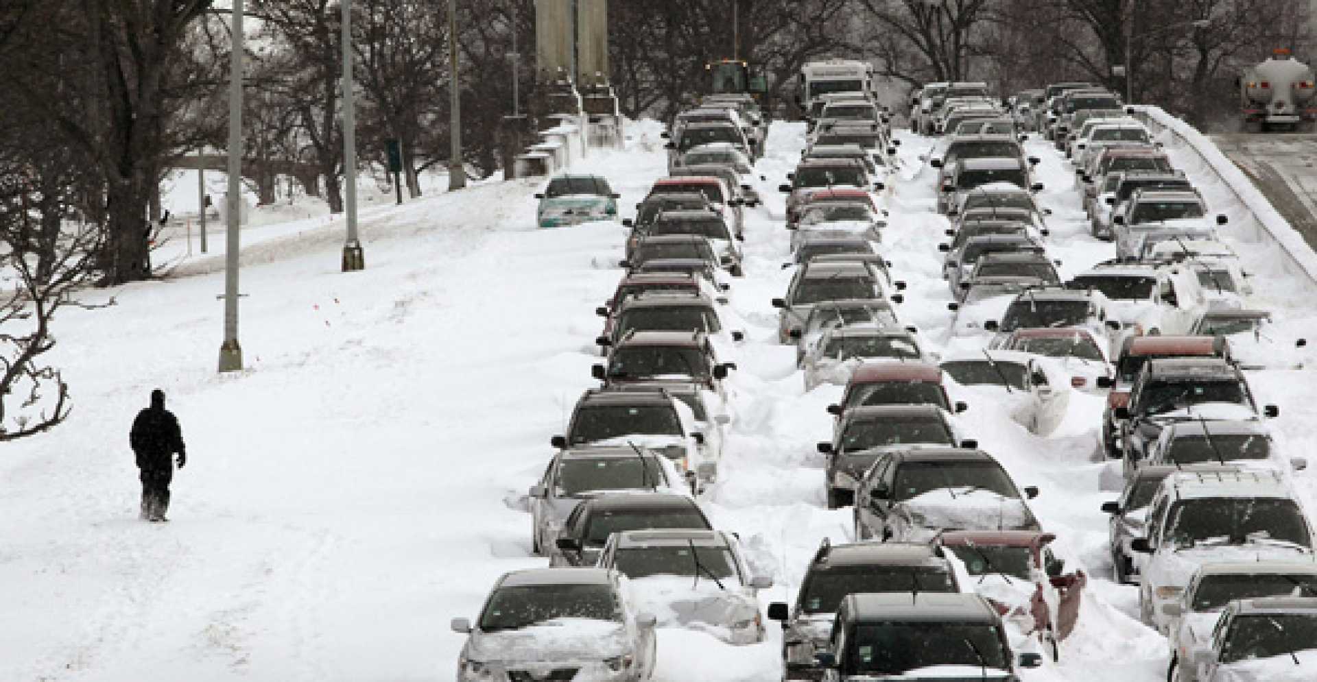
COLORADO SPRINGS, Colo. — A major winter storm is set to impact southern Colorado and central Iowa starting Monday night, bringing heavy winds, snow, and hazardous travel conditions into Tuesday morning. The National Weather Service issued blizzard warnings for northern El Paso County and the I-70 corridor as wind gusts are expected to reach up to 75 mph.
After a day of critical fire danger, characterized by red flag warnings and heavy wind gusts up to 65 mph, the region will see a significant drop in temperatures as snow arrives in the evening. Meteorologists predict accumulations will be heaviest in the northern areas, leading to challenging conditions for commuters on Tuesday morning.
“We’re looking at severe impacts during the morning commute,” said a spokesperson for the National Weather Service. “Travel may be nearly impossible, particularly on the Palmer Divide and Teller County, where winter storm warnings are in effect.”
Snowfall is likely to continue into Tuesday, with reduced visibility due to both falling snow and strong winds. Accumulations may exceed a foot in some areas, while further south will see lesser amounts. Alongside this, sustained wind speeds could reach 20-35 mph with gusts peaking at 60-75 mph.
The hazardous winter weather will also affect travel outside of Colorado, particularly in Iowa, where a high wind watch is issued from Tuesday evening through Wednesday afternoon. Forecasts indicate strong northwest winds with gusts up to 60 mph, posing risks of downed trees and power lines.
“Please be cautious if you need to travel, especially high-profile vehicles,” advised the National Weather Service. “Widespread power outages could also occur.”
In Iowa, rain is expected to transition to snow Tuesday night, with significant visibility reductions anticipated. The National Weather Service forecasts total snow accumulations between 2 and 5 inches, with localized higher amounts near the Minnesota border.
“It’s crucial to prepare for possible blizzard conditions and monitor forecasts closely as the situation develops,” they added.
As the week progresses, Wednesday will see a gradual improvement in conditions; however, another weak weather system may bring additional snow showers on Thursday and Friday. Meteorologists advise residents in both states to stay vigilant and remain informed about changing weather conditions.


