News
Severe Weather Alert Issued for Nashville Ahead of Thanksgiving
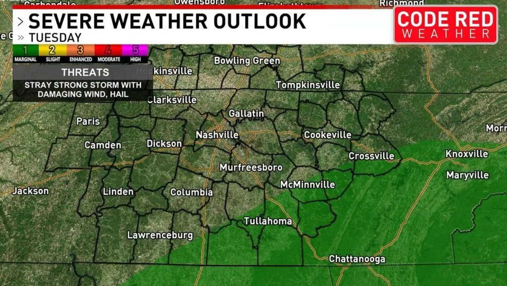
NASHVILLE, Tenn. (WZTV) — FOX 17 News has issued a Code Red alert for severe storms starting this week, which may complicate early Thanksgiving travel plans.
Rain and storms are expected to begin late Monday night, continuing into early Tuesday morning. Most of the storms are unlikely to reach severe limits, although some strong storms could develop. The main threat is isolated damaging wind gusts, while the risk of a tornado remains minimal.
In addition to storms, non-thunderstorm wind gusts could occur from Tuesday morning through midday. Sustained south winds are forecasted at 15-25 mph, with gusts reaching up to 30-40 mph. Residents are advised to secure loose outdoor items, such as Christmas decorations.
A First Alert Weather Day is in effect for late tonight and early tomorrow, along with a chance of a strong to severe storm affecting southern and southeastern Middle Tennessee. The danger comes mainly from potential damaging winds and brief downpours, while an isolated tornado is still considered unlikely.
Looking at Tuesday’s forecast, morning conditions will be mostly cloudy, humid, and mild, with rain showers expected. Morning lows will be around 59 degrees. Afternoon temperatures are anticipated to rise slightly to 69 degrees, but isolated showers could still occur.
Wednesday is expected to bring cooler temperatures with a morning low of 48 degrees, warming to a high of 56 degrees in the afternoon. The evening will see temperatures drop into the 30s.
Thanksgiving Day is projected to be bright but chilly, with lows around 32 degrees and highs near 50 degrees. A light northwest breeze of 5-10 mph is also expected. By Friday morning, temperatures will dip even further, with lows at 28 degrees, though sunny conditions are expected by the afternoon with highs reaching 52 degrees. The weekend looks likely to bring more clouds and potential rain showers on Saturday night through Sunday.


