News
Severe Weather Expected in Kansas and Colorado This Weekend
DENVER, Colorado — A round of heavy rain and strong storms is expected to develop by midday tomorrow across parts of Colorado and Kansas, with additional storms likely redeveloping overnight. The National Weather Service warns that widespread thunderstorms could lead to localized flooding, even as the severe weather threat appears low for now.
Weather officials recommend that residents keep umbrellas handy throughout the day. The unsettled weather pattern is predicted to keep daily storm chances in the forecast through the weekend, impacting areas in both states. While it may not rain constantly, people should be prepared for showers and storms, which could occur daily.
Tonight, the forecast indicates mostly cloudy skies with a 30% chance of spotty thunderstorms. Low temperatures will hover around 65 degrees Fahrenheit, with southeast winds at 10-15 mph. Tomorrow, expect mostly cloudy conditions, with a higher likelihood of rain, around 70%, and temperatures reaching a high of 82 degrees.
For the rest of the week, temperatures will remain warm, with highs ranging from 81 to 85 degrees. Friday will see a 50% chance of thunderstorms, while Saturday and Sunday will maintain a lower chance at 30% and 40%, respectively.
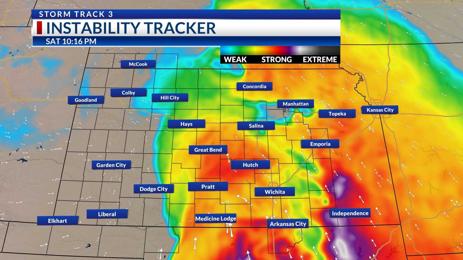
As part of the ongoing severe weather outlook, several severe thunderstorm watches have been issued. Regions in east-central Colorado and northwest Kansas are particularly affected. This includes counties such as Cheyenne and Kit Carson in Colorado, and 13 counties across northwest Kansas including Cheyenne, Decatur, and Thomas.
Residents in cities like Colby, Goodland, and Oakley are advised to be weather-aware as the situation develops. The National Weather Service continues to monitor conditions and will provide updates as necessary.


