News
Severe Weather Risks Loom Over Southern States This Weekend
COLUMBIA, S.C. (WIS) – Rain and severe weather are on the horizon for southern states, with an uptick in rain chances anticipated tonight into early Friday. According to the latest weather reports, a front will move through the region on Friday, bringing a 20-30% chance of isolated showers in the afternoon. High temperatures are expected to reach the low 70s, accompanied by breezy conditions with wind gusts up to 30 mph.
As the weekend approaches, cooling temperatures are forecast across the area. Saturday will see morning lows in the mid-40s and afternoon highs reaching the upper 60s under partly cloudy skies. Sunday is expected to bring clearer conditions with lows dropping to 43 degrees and highs reaching the low 70s.
On Monday, warming trends will return as temperatures rise into the low 80s, driven by a southwestern flow resulting from high pressure building over Miami. As the work week progresses, another front is projected to arrive on Tuesday, bringing partly cloudy skies but remaining dry. Highs for Tuesday are expected to reach around 79 degrees, with lows staying around 61.
The First Alert Weather forecast for Friday indicates leftover morning showers, with another round of precipitation likely in the afternoon, increasing the chance of rain to approximately 40%. Saturday’s forecast calls for partly cloudy skies, with highs in the mid-60s. Sunday will be sunny, with expectations of highs around 70 degrees. Looking ahead, Monday will see continued sunshine with warm conditions pushing highs to the low 80s, while Tuesday’s forecast anticipates partly cloudy weather with highs in the upper 70s.
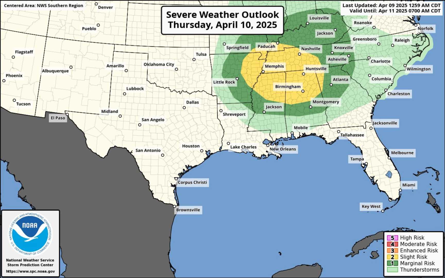
The situation takes a more acute turn in North Carolina, where a Level 1 risk for severe storms is in effect for today. According to WTVD, scattered thunderstorms are expected, with potential damaging wind and hail as the primary concerns. Localized heavy rainfall could lead to minor street flooding, particularly this afternoon as a surface low moves across the state.
WTVD’s weather team reported that temperatures in the upper 50s to low 60s can be expected, with scattered showers and storms persisting into the early evening. Saturday is forecasted to begin with cloudy skies but may clear by nightfall as high pressure builds. Sunday will bring sunshine and warmer temperatures in the low 70s, with highs expected to reach the mid-80s by Monday.
In Memphis, Tenn., today’s weather will also be reflective of a cooler trend, particularly in the morning hours where temperatures are currently in the 50s. The area’s forecast anticipates highs in the mid-60s, with a slight chance of rain late in the day, specifically east of the Mississippi River. Winds today are expected to peak at 15 mph.
Temperatures across the Mid-South are also set to rise over the weekend, with highs reaching the 70s. Looking ahead, minimal rain chances are anticipated for most of next week.
In Arkansas and other neighboring states, a Flood Warning has been issued for the Mississippi River due to expected rising water levels. The Mississippi River at Memphis is projected to crest at 36.0 feet early on Wednesday, April 23, while minor flooding conditions are anticipated in prone areas. Motorists have been advised to avoid driving through flooded regions due to the hazardous conditions.
The upcoming week presents a combination of sunny and stormy weather patterns, as southern states brace for a mixture of warmth and potential thunderstorms.


