News
Severe Weather Storm Threatens Millions as California Braces for Impact
SACRAMENTO, California — A potent storm system is unleashing severe weather across the United States, with California experiencing heavy precipitation and winds on Thursday ahead of what experts predict could be “the most significant severe weather outbreak of the year” for parts of the central and eastern U.S. on Friday and Saturday.
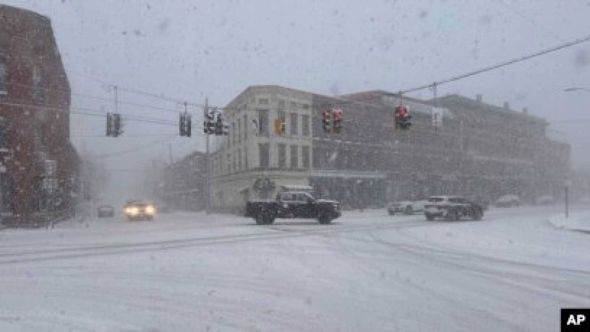
More than 100 million people are at risk of extreme conditions ranging from blizzard warnings in the northern Plains to tornadoes and wildfires in the South. Thursday saw substantial snowfall in the Sierra Nevada and heavy rainfall across coastal southern California.
The National Weather Service (NWS) issued a warning, stating, “Heavy rain may cause flash flooding across portions of southern California through tonight.” In addition to rainfall, powerful wind gusts reaching 40 to 70 mph are contributing to hazardous travel conditions, especially in the Sierra Nevada and northern California.
“Travel below major passes across the Sierra Nevada will be treacherous to potentially impossible,” the NWS added. Severe thunderstorms capable of producing hail and damaging winds may extend from eastern Mississippi to Alabama, western Georgia, and areas of the Florida Panhandle on Thursday evening.
According to the Storm Prediction Center, a significant regional outbreak of severe storms is anticipated across much of the Mississippi Valley, extending eastward into the Lower Ohio and Tennessee Valleys late Friday afternoon into early Saturday morning. “All severe hazards are possible, including swaths of intense winds and tornadoes,” the center reported.
AccuWeather meteorologist Bernie Rayno predicted, “We expect as many as two dozen or more tornadoes, as well as hundreds of reports of damaging wind gusts, by the end of this weekend.” Storms are expected to maintain strength through the night, raising concerns about nighttime tornado activity.
“Strong tornadoes could strike after dark Friday, which is extremely dangerous, especially during overnight hours when many individuals are sleeping,” said Dan DePodwin, AccuWeather’s senior director of forecasting operations. He urged residents to ensure their storm shelters or safe rooms are prepared and stocked with emergency supplies ahead of any warnings.
Alongside tornado threats, dry, warm, and windy conditions will enhance critical fire weather risks across the southern high Plains both Thursday and into the weekend. The NWS also noted a trend of above-average temperatures expected across the central and eastern U.S. in the coming days.
As the storm progresses, snowfall is anticipated in northern Plains states late Friday through Saturday, impacting areas from northern Nebraska to the Dakotas and western and northern Minnesota. While snowfall totals may not be excessive, high winds in conjunction with snowfall could create blizzard-like conditions, further complicating travel safety.


