News
Severe Weather Threat Continues Across Southern U.S. This Week
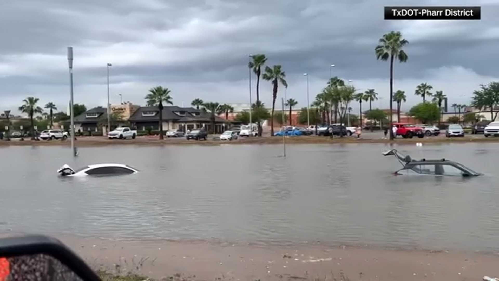
Lubbock, TX — A significant weather pattern is affecting large areas of the Southern United States, including Texas, Louisiana, and parts of the Northeast, as an omega block formation shapes the jet stream. This blocking pattern has led to severe weather threats, including heavy rain and flash flooding, which are expected to persist throughout the week.
Beginning Monday, central and West Texas are at risk for damaging winds and hail, impacting cities such as Fort Worth, Austin, Abilene, and San Antonio. Meteorologists warn that flash flooding may result from continued rain in these areas. “The prolonged rainfall will heighten the risk for flash flooding, especially in urban regions and low-lying areas,” said meteorologist Sarah Johnson.
Tuesday brings an increased chance of severe storms across Texas, Louisiana, Arkansas, and Oklahoma. Major cities like Houston, Dallas, and Waco are included in this alert. While damaging winds and hail remain the primary concerns, isolated tornadoes also cannot be ruled out due to favorable atmospheric conditions.
In addition to the severe weather in Texas, areas in the mid-Atlantic and Northeast may experience scattered showers and storms. Meteorologists predict that flash flooding will remain a concern near the New York tri-state area because of persistent rainfall.
As the week progresses, the blocking pattern is expected to weaken, allowing some relief from the torrential rain. However, thunderstorms could still produce heavy rainfall, particularly near the northern Gulf Coast on Wednesday.
As the situation develops, weather officials will continue to provide updates. Residents are advised to stay alert and prepare for severe weather conditions through the week.


