News
Severe Weather Threat Looms Over Central Texas Tonight
AUSTIN, Texas — After a calm weekend, weather conditions are set to change dramatically in Central Texas starting Monday night.
The National Weather Service warns of possible severe storms driven by an upper-level area of low pressure moving in from Arizona. As a result, the risk of severe weather is expected to increase overnight and into Tuesday.
Central Texas can expect spotty showers and occasional afternoon storms, but the main threat will arrive late tonight, particularly in the Hill Country. Forecasts suggest that the Interstate 35 corridor will face the worst weather during Tuesday’s morning commute before the storms shift toward the Coastal Plains by late morning.
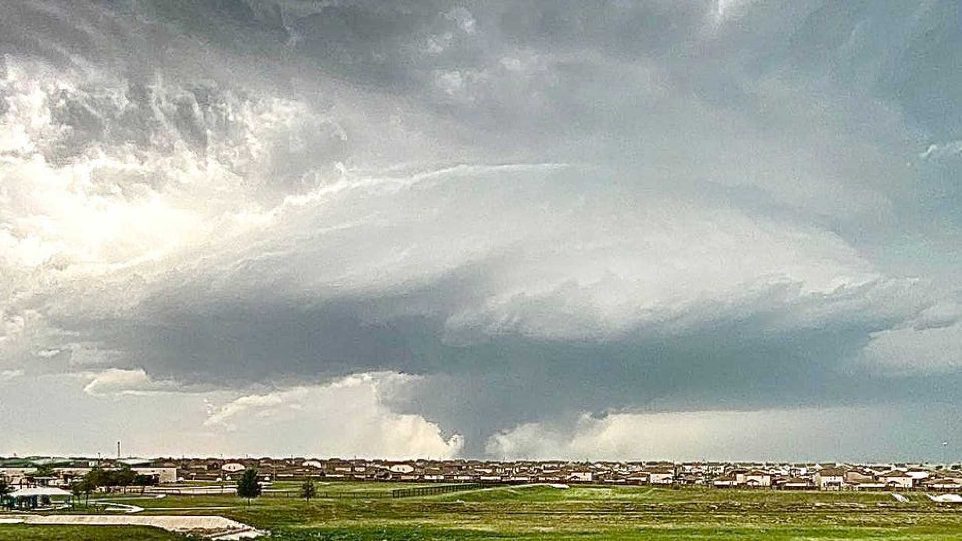
The Storm Prediction Center has issued a level 2 out of 5 risk for severe storms across nearly all of the KVUE viewing area. The most significant threats include hail, with a 15% chance of hailstones reaching 2 inches in diameter or more.
Additionally, the swirling winds associated with the nearby low pressure system raise concerns for isolated tornadoes.
While rain chances will decrease after Tuesday, scattered storms may still occur on Wednesday, albeit without a severe risk. Conditions are expected to dry out further on Thursday, with improved weather for Mother’s Day weekend, featuring plenty of sunshine.
Stay tuned for updates as the situation develops.


