News
Severe Weather Threat Looms for Central Florida This Weekend
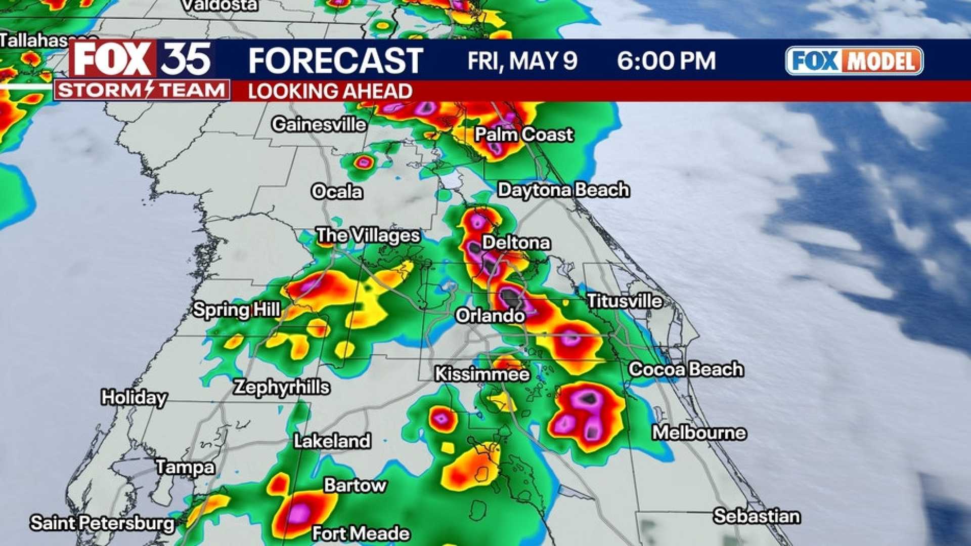
ORLANDO, Fla. – Central Florida is bracing for a weekend of severe weather, including gusty winds, hail, and possible tornadoes. The Storm Prediction Center has heightened the severe weather risk to level 2 out of 5 for many communities in the central and eastern parts of the state.
Starting Friday evening, storms began rolling into Brevard and Volusia counties around 5 p.m., with Lake County experiencing storm activity shortly after. Reports indicated hail measuring up to 1.5 inches in diameter in Port Saint John, prompting alerts for potential severe weather.
Residents should prepare for rain throughout the weekend, particularly on Saturday and Sunday, with a projected coverage of storms ranging from 60% to 70%. Meteorologists expect conditions to peak as a cold front approaches late Monday, bringing with it the possibility of additional heavy rainfall.
The WESH 2 First Warning Weather team has classified Saturday as an Impact Weather day due to the potential for damaging winds and hail. Mother’s Day is predicted to be particularly stormy, with increased chances of rain in the afternoon hours.
Following the active weather on Monday, sunshine is set to return by Wednesday and Thursday, bringing much-anticipated dry conditions. Forecasters are monitoring the situation closely, as any shifts in the storm’s trajectory could alter the severity and timing of the upcoming rain and storms.
The First Warning Weather team, which includes Chief Meteorologist Tony Mainolfi and his colleagues, advises residents to stay informed through updates and alerts as the weekend unfolds.


