News
Severe Weather Threat Looms Over Central U.S. Starting Wednesday
CHICAGO, Illinois — The FOX Forecast Center is tracking a severe weather threat that begins Wednesday, potentially lasting into next week. Meteorologists Bob Van Dillen and Ari Sarsalari report an expected shift towards more active severe weather patterns.
Forecasters noted a lull in severe weather recently, but they expect that to change as an upper-level disturbance moves into the central United States. The first wave of storms has already prompted a Severe Thunderstorm Watch, with warnings issued for parts of South Dakota, Nebraska, Colorado, and Kansas.
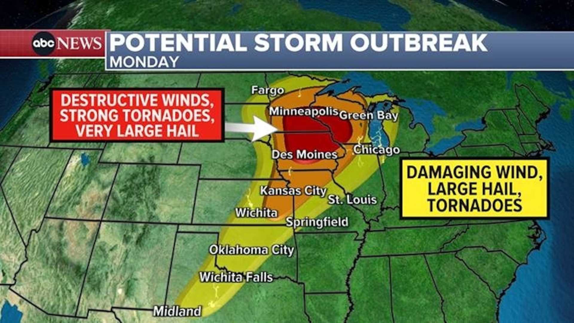
Leading into Thursday, over 16 million people in cities like Chicago and Milwaukee are under a Level 3 out of 5 threat. The storms may lead to large hail and damaging winds, and there is potential for tornadoes as moisture from the Gulf of Mexico mingles with unstable air masses.
On Thursday, forecasters predict that the instability will lead to severe thunderstorms in central and southern regions. The energy in the atmosphere could create conditions favorable for long-lived supercell storms in parts of Illinois, Wisconsin, and Michigan, raising concerns about significant tornado threats there.
The severe weather risk will continue through Friday, with an additional 18 million people in cities like Indianapolis and Cincinnati included in a Level 2 risk. The main threats will again be large hail and damaging winds, while tornadoes remain a possibility.
As the weekend approaches, an area of low pressure is expected to form near the Rockies and move into the southern Plains. This is likely to result in further severe weather events, potentially extending into next week as the storm moves eastward.
The FOX Forecast Center stated they will monitor the situation closely as more storm energy is anticipated to develop, prompting concerns of widespread severe weather impacts across the region.


