News
Severe Weather Threat Looms as Heat and Humidity Rise
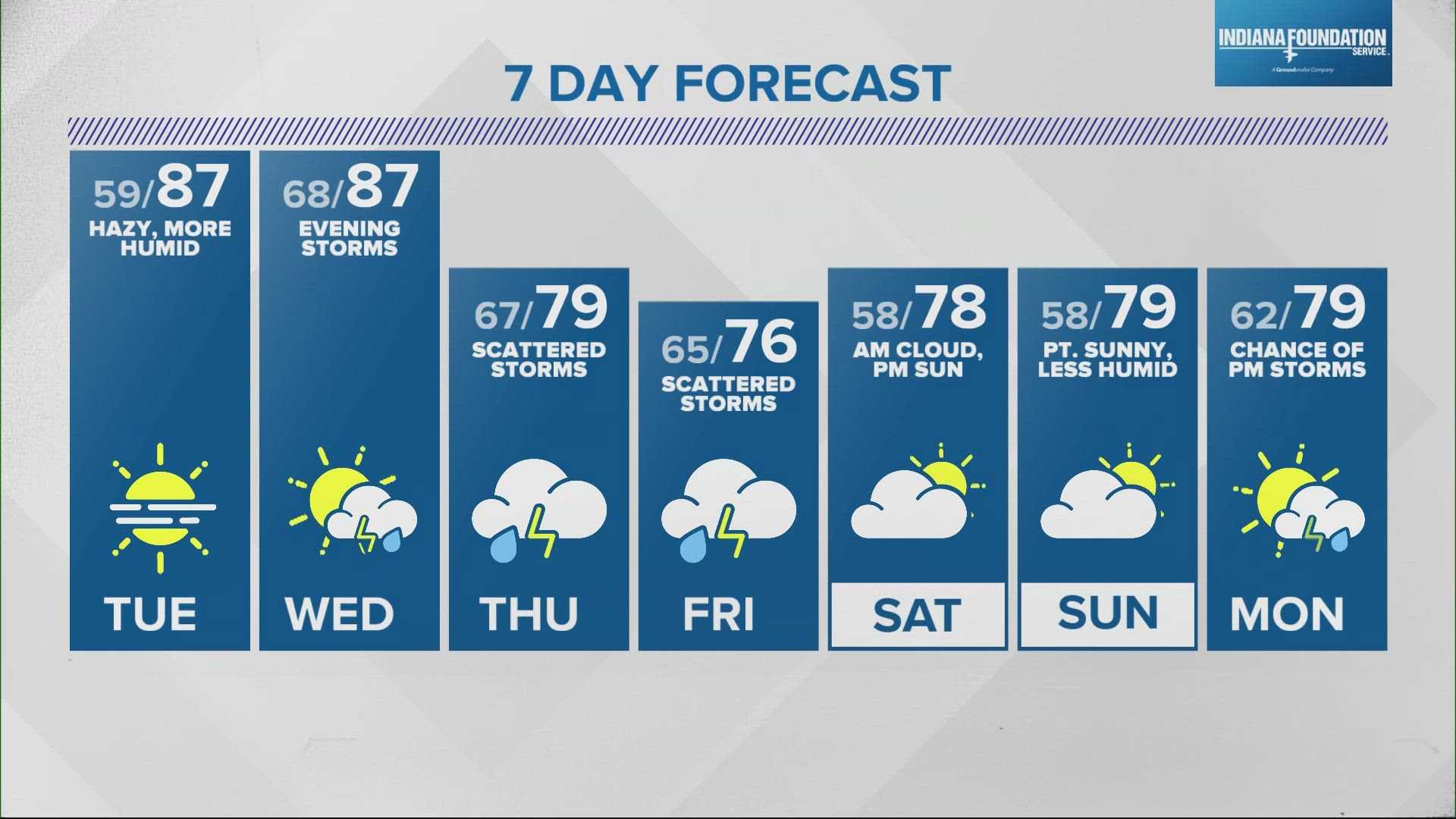
Eau Claire, Wisconsin — A warm summer-like day is anticipated as temperatures rise into the 80s, accompanied by increasing humidity. Residents are advised to prepare for thunderstorms that are expected to develop Tuesday evening.
According to the National Weather Service, highs will reach around 84 degrees with breezy conditions. Meteorologist Austin Haskins noted, “It’s a perfect setup for storms later in the day, with heavy rain likely, bringing over an inch in some areas.”
The storm system poses a marginal risk of severe weather, particularly in southeastern Wisconsin, where damaging winds and hail could be a concern. The storms are forecasted to begin between 9 p.m. and 3 a.m., with an expected 30% chance for thunderstorms during the day.
In addition to the storm threats, the Wisconsin Department of Natural Resources has announced an Air Quality Advisory due to wildfire smoke. The air quality is expected to drop into the “Unhealthy for Sensitive Groups” category, impacting various counties including Barron, Eau Claire, and La Crosse.
“Heavy surface smoke will move in overnight and gradually spread across the state,” said a DNR representative. “Those with respiratory issues should limit outdoor activities and stay indoors if possible.”
Weather officials advise keeping updated on the forecasts and being prepared for severe weather conditions. Midwest residents can expect continued warm temperatures through the week, with a slight cooling trend midweek.
“Stay alert as conditions may change rapidly with the incoming storms tonight,” Haskins stated.


