News
Severe Weather Threat Looms for Mid-South This Weekend
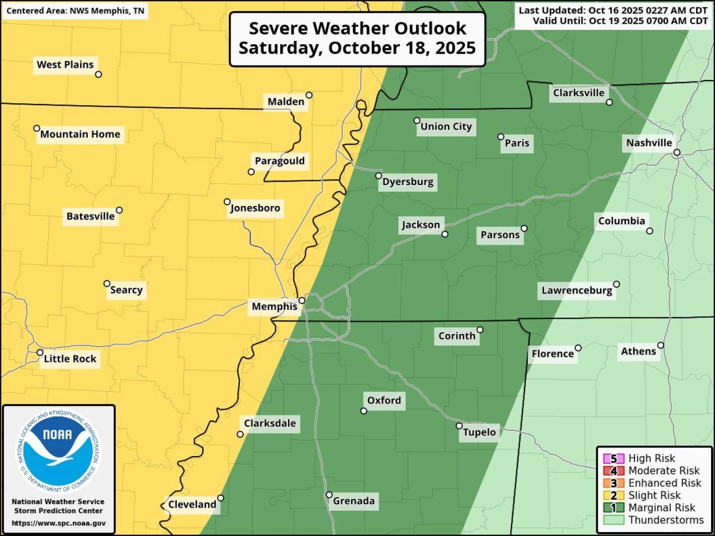
MEMPHIS, Tenn. (WMC) – Severe weather is expected Saturday evening across the Mid-South, with the possibility of damaging winds and localized tornadoes. A low-pressure system currently over Kansas is responsible for this weather event.
As southerly winds carry warm, moist air from the Gulf of Mexico, this system brings colder, drier air from the west, causing a clash that can lead to storms. The forecast predicts intense weather could begin as early as 3 p.m. in western areas of the Mid-South, including Memphis, where storms could roll through around sunset.
While the event is not expected to significantly impact everyone, residents should prepare for damaging wind gusts as the storms pass. A localized tornado spin-up is also a possibility, though the risk remains lower.
Officials urge residents to stay informed by downloading the First Alert Weather App for immediate alerts and updates. The severe weather is expected to clear out by midnight in eastern areas.
In addition to the Mid-South, the Northeast is preparing for heavy rain and strong winds Monday as a storm moves along the East Coast. This storm threatens coastal flooding and damaging winds.
Lasting wind gusts of up to 60 mph have already been recorded, particularly in the Tri-State area, where coastal flood warnings are active. These warnings could lead to flooding and dune breaching during high tide, particularly on Monday afternoon.
As weather impacts continue to develop, it remains crucial for residents in at-risk areas to remain vigilant and updated on forecasts.


