News
Severe Weather Warning for Central Florida: Storms Expected Thursday Afternoon
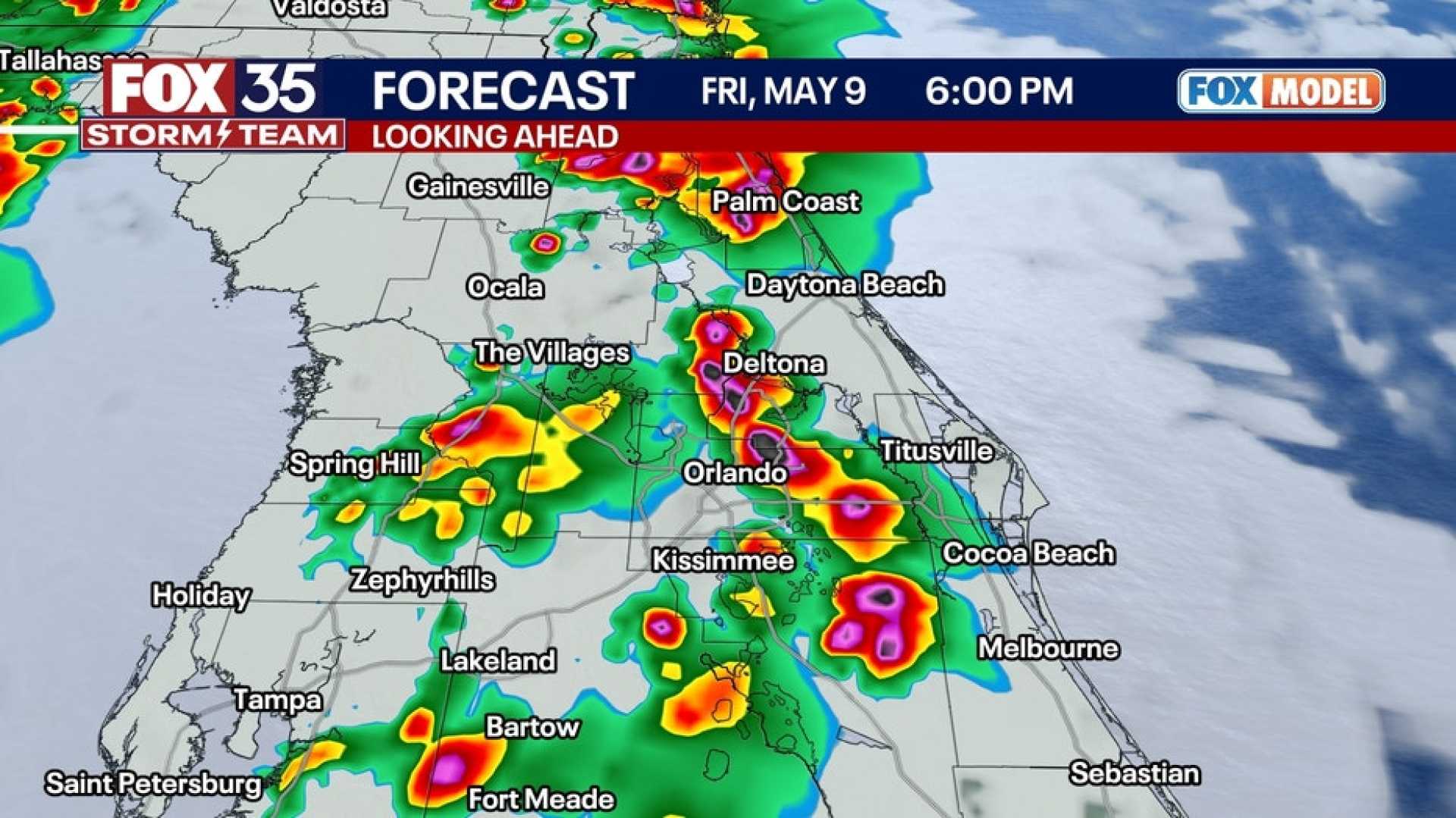
ORLANDO, Fla. — A severe weather warning has been issued for Central Florida as an upper-level low is set to pass over the area on Thursday afternoon. Meteorologists expect this weather system to bring substantial rain, scattered thunderstorms, and the potential for severe weather.
The First Warning Weather team reports that the most significant storm activity is likely to occur between 2 p.m. and 6 p.m. Damaging winds, flooding rain, hail, and even isolated tornadoes are among the potential risks.
Current meteorological data shows that isolated thunderstorms have already started forming around areas like Samsula and west of New Smyrna Beach. While lightning remains minimal at this time, it is anticipated that thunderstorm activities will intensify later in the day.
By approximately 3 p.m., models indicate a chance for stronger thunderstorms as the daytime heating combines with moisture from the east. A heightened risk for severe weather is particularly noticeable in regions west of the Orlando metro area, especially along the I-75 corridor.
Temperatures in the area are currently sweltering, with Deland feeling like 92 degrees and The Villages reaching nearly 100 degrees. This high heat and humidity are contributing to the instability necessary for thunderstorm formation.
The WESH 2 meteorological team has categorized the storm threat as low on a scale of 1 to 5, but they emphasize that localized severe conditions can develop quickly, and residents should prepare accordingly.
Stay informed with updates from WESH 2 online and through their mobile app for the most accurate Central Florida weather forecasts.


