News
Severe Weather Watches Issue for DC Region as Storms Approach
WASHINGTON – A Flood Watch and a Severe Thunderstorm Watch are in effect in the Washington, D.C. region as heat and humidity increase the risk of damaging weather on Wednesday.
Temperatures near 90 degrees have led to higher chances of pop-up thunderstorms by early afternoon, with the Severe Thunderstorm Watch valid until 7 p.m. and the Flood Watch lasting until 8 p.m. for D.C., Maryland, and Virginia along the I-95 corridor.
In the morning, patchy fog and mist occurred, particularly after early showers. The region began the day with temperatures in the 70s, but as the day progressed, gloomy skies became sunny. The afternoon will see highs in the upper 80s to low 90s, accompanied by heavy humidity.
FOX 5’s Taylor Grenda reported that scattered thunderstorms are expected to develop between noon and 4 p.m. Some of these storms may become severe, producing damaging wind gusts and heavy downpours. The National Weather Service has labeled the area under a marginal risk for severe weather.
A cold front is forecasted to move through on Thursday, increasing the likelihood of more widespread storms in the afternoon and evening. High temperatures on Thursday will remain in the upper 80s to low 90s.
In addition to D.C., much of Indiana and Kentucky, along with parts of Illinois and Missouri, also face a tornado watch extending through the evening. Severe thunderstorms are active, putting millions on alert in major cities including Indianapolis.
The action began late Wednesday morning when a Tornado Watch was issued, including areas from Missouri, Illinois, Kentucky, and Indiana. This alert covered cities such as St. Louis, Evansville, and Louisville. Reports showed video footage of a confirmed tornado in Jacksonville, Illinois.
Severe Thunderstorm Warnings indicate areas of active storms. Flash Flood Warnings have also been issued where heavy downpours are anticipated. Although tornado threats are low, they have not been ruled out entirely.
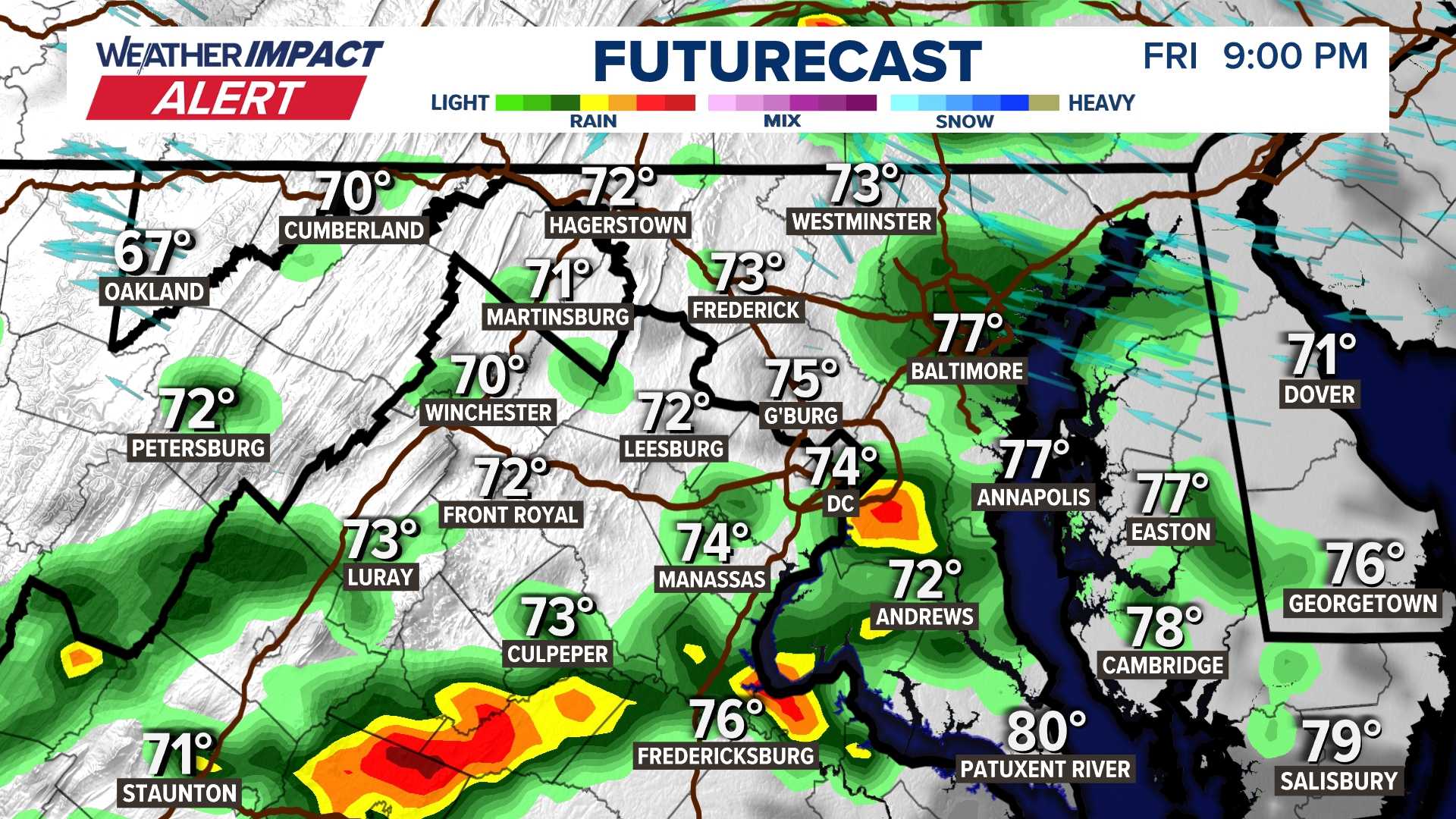
In D.C., the strongest storms have pushed east, but isolated showers and storms are expected this evening as a Severe Thunderstorm Watch remains in effect for southern Maryland until 7 p.m. Rainfall amounts may range from 1 to 3 inches, prompting alerts for potential flooding.
Tomorrow, another chance for severe weather exists with storms forecasted to impact the region again during the afternoon and evening commute. Weather conditions are expected to settle overnight into early Thursday.


