News
Severe Winter Storm to Impact Midwest with Blizzard Conditions
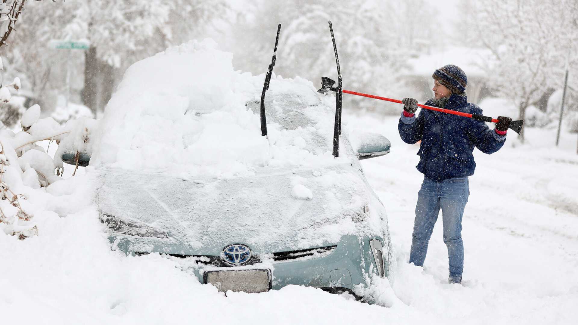
OMAHA, Neb. (AP) — A powerful winter storm is set to hit the Midwest, prompting First Alert Weather Days for both Tuesday and Wednesday. The storm, which will impact several states, is expected to bring extreme wind gusts, blizzard conditions, and rapidly falling temperatures.
The storm’s onset will begin Tuesday evening, bringing strong thunderstorms and heavy rainfall across the affected areas before transitioning to snow. Snowfall rates could reach 0.5 to 1 inch per hour in some regions as the storm progresses, particularly after 6 p.m. Central Standard Time.
In Omaha, temperatures are anticipated to stay mild before dipping into the upper 20s by early Wednesday. Wind gusts could reach between 55 and 70 mph, creating hazardous travel conditions, especially during the morning commute on Wednesday.
“Winds are the greatest threat with this storm,” said meteorologist Matt Serwe. “We are looking at severe thunderstorm-level winds impacting a broad area, which can lead to tree damage and power outages.”
The Kansas City metro area is under a Blizzard Warning until 6 a.m. Wednesday, with expected snow accumulations of 1 to 3 inches. However, officials emphasize that visibility issues and wind speeds are the primary concerns during blizzard conditions.
Conditions south and east of Kansas City will face a Winter Weather Advisory, where lighter snow and lower wind gusts are expected. The storm is forecasted to taper off by midday Wednesday, resulting in difficult travel conditions due to icy roads.
In Western Wisconsin, snowfall could accumulate between 4 and 7 inches, with roadways becoming hazardous as conditions worsen overnight. A First Alert Weather Day will be in effect, advising residents to prepare for impactful travel disruptions.
“Visibility will be greatly reduced, making early morning travels extremely difficult,” warned meteorologists. “If you must be on the road, allow plenty of time to reach your destination.”
Looking ahead, temperatures will rise into the 40s and 50s later in the week, potentially offering some relief from the harsh weather conditions. A brief chance of wintry mix precipitation is anticipated Thursday before drier, sunnier weather returns over the weekend.
As communities brace for this significant winter weather event, officials urge residents to stay updated through local news channels and weather apps for the latest information on storm developments.


