News
Severe Winter Storms Threaten Millions Across the United States
WASHINGTON, D.C. – A series of powerful winter storms are set to impact millions of Americans as they unleash heavy snow, freezing rain, and dangerously low temperatures across the country. The National Weather Service forecasts a significant winter storm reaching California, where communities previously affected by destructive wildfires are on alert for potential mudslides and related hazards.
Heavy rain began sweeping the West Coast on Wednesday, with Central California expected to see downpours late overnight. An alert from the Weather Prediction Center noted, “The heavy rain may cause flooding in urban areas and small streams, as well as some minor river flooding.” The forecast indicates that a “Slight Risk” for excessive rainfall remains in place until Thursday morning.
“It’s possible we get through this rain event without any significant problems, but the potential is there,” said Ariel Cohen, meteorologist in charge at the National Weather Service in Oxnard, California. Crews have been working to clear debris from the recent Eaton and Palisades fires, which burned thousands of acres and have left the ground vulnerable to flash floods and mudslides.
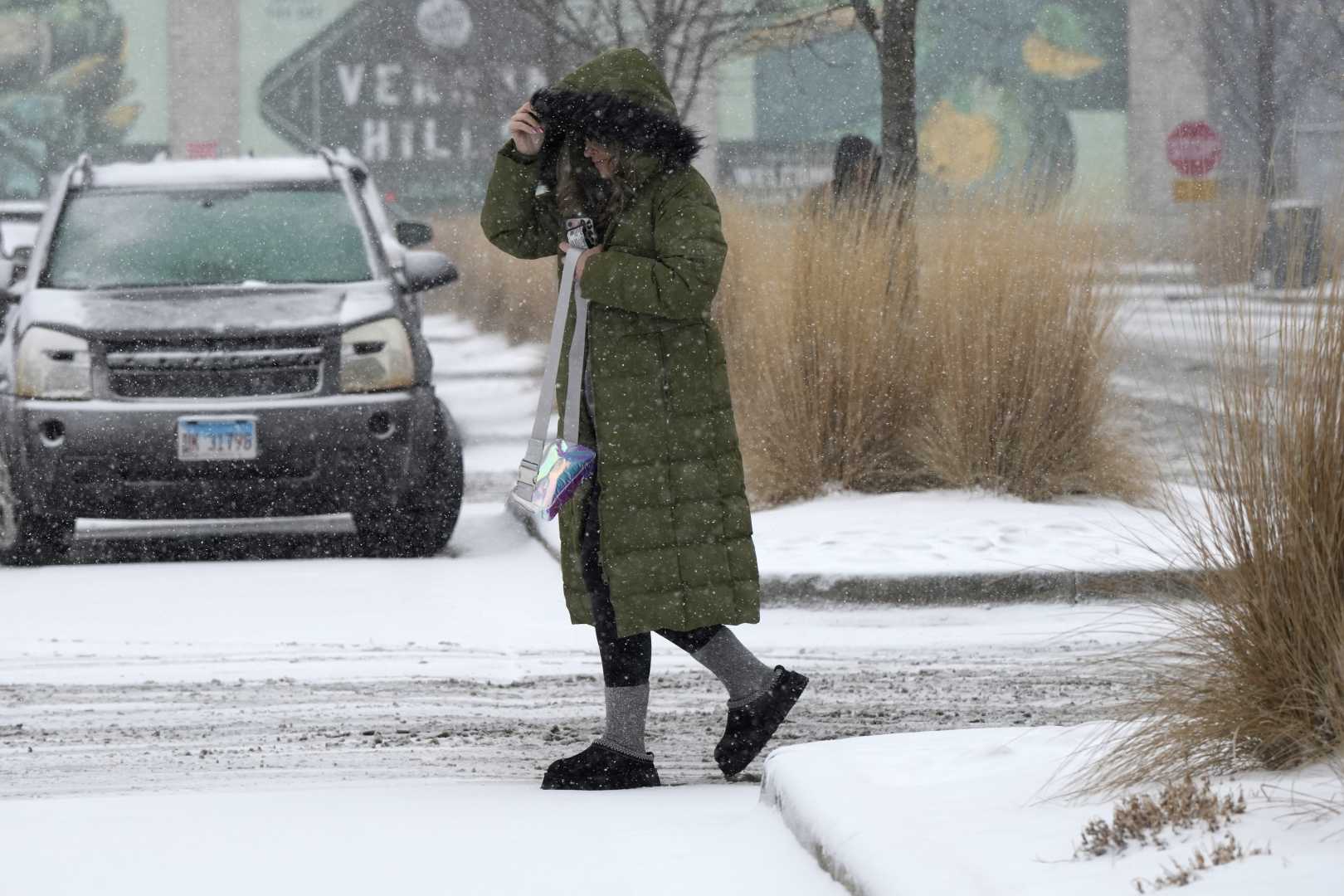
Meanwhile, wild winter conditions are gripping the Midwest and mid-Atlantic regions. Residents in Washington, D.C., dealt with a snowy morning as another wave of winter weather approaches, bringing a risk of heavy snow extending from the Central Plains to the Great Lakes, with ice and sleet predicted further south.
Chicago is bracing for significant snowfall, with projections of around 6 inches. The National Weather Service warned of hazardous travel conditions as bursts of heavy snow could accumulate at rates of one inch per hour. Other areas, including Milwaukee and Detroit, are also expected to experience similar conditions.
The Midwest will not be the only region affected, as severe thunderstorms threaten parts of the Southeast. The Storm Prediction Center indicated an “enhanced risk” for large hail, severe winds, and even the potential for tornadoes in the southern half of Mississippi and Alabama.
On Thursday, conditions will worsen in the West as the storm continues to traverse California and into the central and southern Sierra Nevada areas. Meteorologists anticipate heavy snow with rates potentially reaching 1 inch per hour, paving the way for several feet of accumulation.
Heavy snowfall is expected to continue its path eastward, impacting New England and other northern states with totals ranging from 5 inches to a foot.
Emergency management authorities are urging residents in vulnerable areas to prepare for possible evacuations. Jason Martinez, from the Santa Barbara County Sheriff’s Office, stated, “We are monitoring conditions closely and remain ready to take action as needed for the safety of our community.” Furthermore, city officials in Chicago are prepared with multiple snowplows and equipment ready for deployment as the anticipated winter storm arrives.
A cold front will also sweep across the northern Rockies and the High Plains, bringing temperatures 25 to 40 degrees below average. Exposure to such extreme cold could lead to frostbite in as little as five to ten minutes.
As winter storms converge across the country, emergency management officials remind residents to stay informed and take precautions during severe weather conditions. The coming days pose significant risks, and evacuations and safety measures may be necessary as conditions evolve.


