News
Significant Snow Potential Emerging for Minnesota Next Week

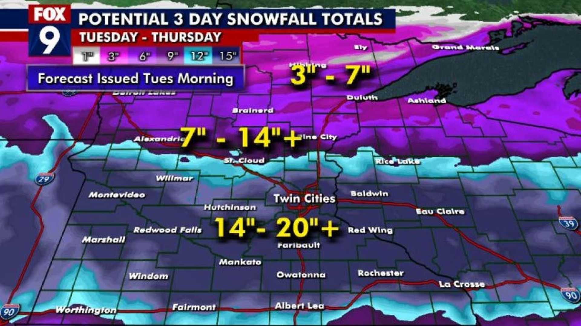
Minnesotans are bracing for a potential significant snow event next week, according to the latest forecast models. Multiple weather models, including NOAA‘s GFS and the European model, suggest a strong rain-to-snow system will impact the state late Monday and Tuesday, potentially stalling over the Upper Midwest through midweek.
The system is expected to bring an initial burst of much-needed rain, followed by a transition to snow as colder air moves into the region. This transition could result in heavy, plowable snow, particularly in central and northern Minnesota. The Twin Cities and southern areas may see lighter snowfall, with a mix of rain and snow possible.
While it is still early to predict exact snowfall amounts due to significant forecast model errors, the potential for heavy snow is growing. The European model suggests a transition zone from mostly rain in the Twin Cities to heavy, wet snow in the west and north of the state.
Temperature trends indicate a sharp drop behind the system, with temperatures plummeting into the 20s and 30s for several days. This abrupt change is expected to mark the end of the extended autumn period and the beginning of a wintry landscape in much of Minnesota.
Residents are advised to prepare by completing any outdoor tasks, such as raking leaves and putting away yard equipment, before the storm arrives next week).


