News
South Florida Braces for Rain Ahead of Weekend Front
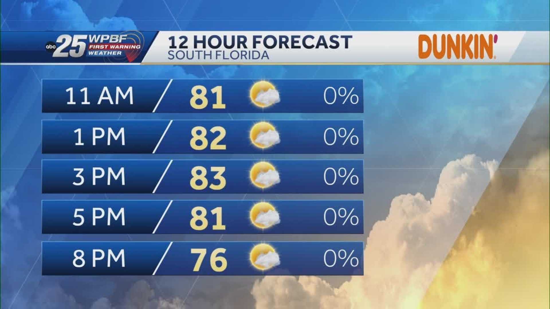
WEST PALM BEACH, Fla. — South Florida is poised for warmer temperatures and rain as a front approaches over the weekend, according to forecasters. Today, residents can expect seasonable weather with highs in the lower to middle 80s under partly cloudy skies.
The National Weather Service reports that southeasterly winds will blow at about 10-15 mph today. Many areas, including Sebastian and Palm City, are currently seeing temperatures in the low 70s, while Palm Beach International shows a temperature of 75 degrees.
As the weekend approaches, forecasters warn of a 40% chance of scattered showers and possibly isolated thunderstorms on Sunday. “We haven’t seen substantial moisture in a while, so a little rain would be a welcome change,” said a local meteorologist. This rain will coincide with an approaching weakening frontal boundary.
Currently, the region is classified as experiencing an extreme drought, with Palm Beach County recording over eight inches below average rainfall. “The dry conditions have been persistent, making this potential rain significant for our agricultural areas,” the meteorologist added.
On Saturday, more of the same is expected, with slightly increased humidity but mostly dry conditions and highs remaining in the mid-80s. However, Sunday may bring clouds and stormy weather, with conditions becoming more unstable.
Residents are advised to monitor the weather over the weekend, especially given the risks of strong winds and small hail in possible severe storms along the coast. The rainy season officially begins on May 15, and current forecasts suggest increased chances of precipitation leading up to that date.
As the first rain drops fall, many hope it will bring relief to the dry season gripping South Florida.


