News
Spring Storm Brings Rain, Cooler Weather to Southern Minnesota
MINNEAPOLIS, Minn. — A strong storm front moved through southern Minnesota on Thursday, bringing significant rainfall and cooler temperatures. The rain began early in the day and is expected to continue into Thursday night, with scattered showers filling in across the region.
The National Weather Service reported that rainfall totals in some areas could exceed one inch, particularly in southeastern Minnesota. Rain began to develop in southwestern Minnesota and gradually spread eastward, affecting the metro area by the afternoon. Highs on Thursday were forecasted to stay in the mid-50s across most of the region due to persistent cloud cover.
Residents near Le Sueur reported the highest precipitation, with radar indicating 4.3 inches of rain. Nearby, Belle Plaine experienced 3.5 inches of rain as storm systems trained over the same areas. While severe weather was not prevalent, scattered reports of hail were noted across various locations including Mankato and Rochester.
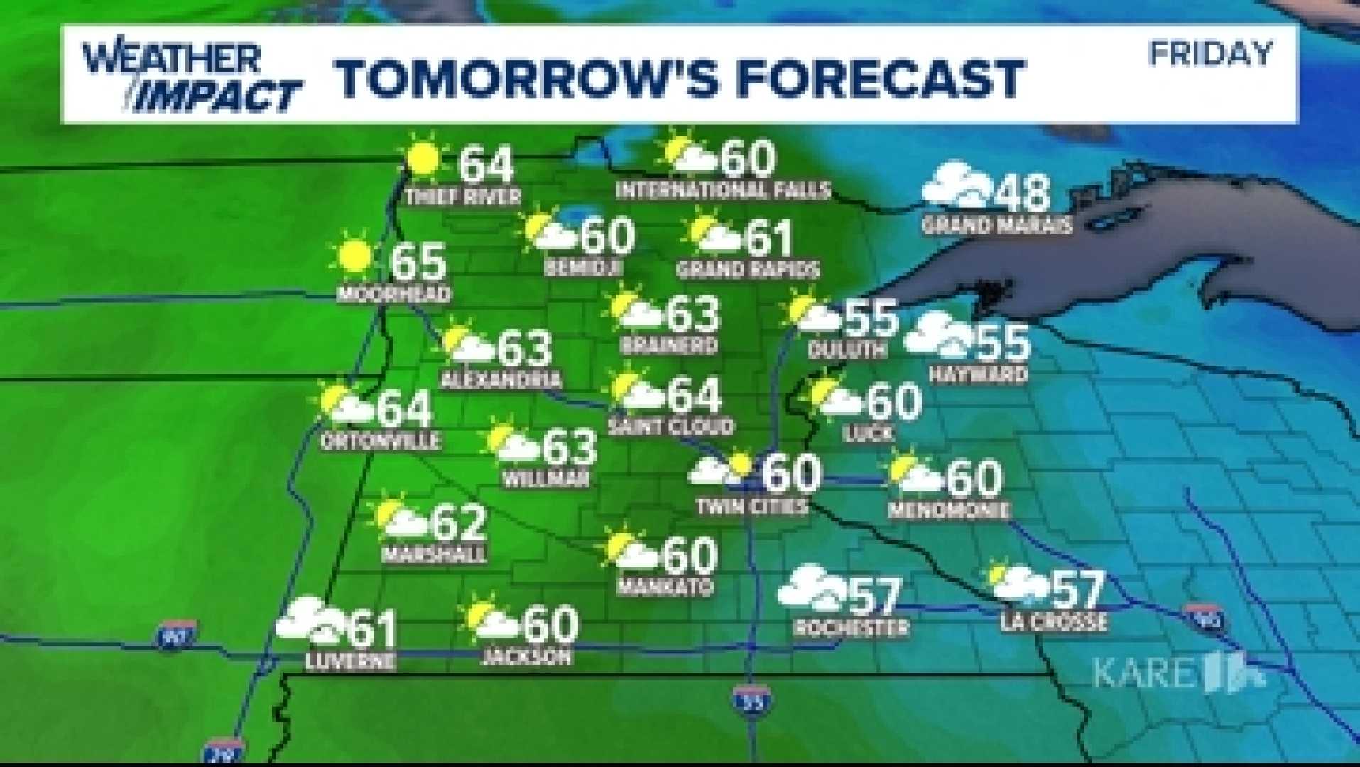
Joseph Dames, a weekend morning meteorologist for WCCO, highlighted the conditions throughout the week, stating, “After a cooler and rainy Thursday, we expect skies to clear on Friday, leading to pleasant highs in the 60s.” He added that Saturday will be the best day of the weekend, featuring sunny skies and ideal conditions for outdoor plans.
Looking ahead, forecasters predict a warmer and more humid start to next week, with highs pushing into the 70s. However, this will also bring a risk of thunderstorms on Monday, raising concerns for severe weather, particularly in southern Minnesota.
Despite the challenges brought by the rain and storms, the moisture is beneficial for the region as many areas were in need of precipitation.


