News
Storm Isha Set to Bring Strong Winds and Heavy Rain Across UK

Storm Isha, the latest weather system named by the Met Office, is poised to deliver heavy rain and strong winds across the UK, following a week of ice and snow. This change in weather will bring an end to the cold spell, with milder conditions expected from Sunday onwards. However, the storm is accompanied by two amber weather warnings, with the most powerful winds forecasted for Sunday night and Monday morning.
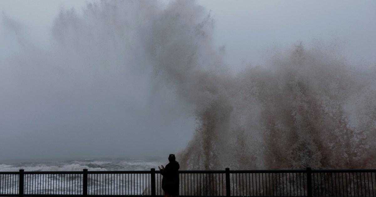
The amber warnings cover southern Scotland, Northern Ireland, northern England, west Wales, and south-west England, starting from Sunday 18:00 till Monday 09:00. A separate amber warning applies to south-east England from midnight to 09:00 on Monday. Gusts reaching up to 80 mph (129 km/h) are anticipated in the areas covered by these warnings. The Met Office has cautioned that large waves and beach material could be thrown onto coastal roads, seafronts, and buildings, posing a risk to life and leading to injuries. Coastal communities should also prepare for potential power cuts, damage to buildings, and closures of roads and bridges.
Energy Networks Association, representing the energy network operators in Britain, has assured that preparations are underway to swiftly and safely address any damage to homes and infrastructure. However, a possibility of mobile coverage disruptions due to power cuts remains. The storm could also cause travel chaos, including longer journey times and cancellations across road, rail, air, and ferry services. The RAC has warned drivers of extremely hazardous conditions and advised them to reduce speeds, keep extra stopping distance, and anticipate delays in the worst-affected areas. Fallen trees and debris on roads may create additional challenges, particularly when accessing motorways and major roads from rural areas.
Furthermore, the Met Office has issued yellow warnings for rain in parts of Wales, Scotland, and northern England, expected to last until early Monday. Rainfall of 20-50mm is anticipated, potentially even reaching 80-100mm in higher areas. Consequently, heavy rain may lead to significant disruption, with flooding likely to affect homes and businesses in parts of Wales and northern England. At present, the Environment Agency has already issued 11 flood warnings and 52 flood alerts in England.
In terms of temperatures, Sunday will mark the beginning of milder conditions, with temperatures rising to 5-6°C in Scotland and 10-13°C elsewhere in the UK. By Tuesday, southern England is set to experience temperatures as high as 15°C, which is approximately seven degrees above the mid-January average.
Storm Isha is the ninth named storm since September and follows the recent Storm Henk, which brought flooding and disruption to several parts of the UK. While winds are expected to gradually ease on Monday, low pressure will trigger further wet and windy weather on Tuesday morning, gradually spreading across the UK. Towards the end of the week, a more settled pattern is anticipated for the south of the UK, while wet and windy conditions may persist in northwestern regions.
The Devon County Council advises residents to stay informed about the storm’s progress and follow any guidance provided to ensure their safety and minimize disruption to travel and daily activities.


