News
Storm System Expected to Bring Heavy Rain to South Florida

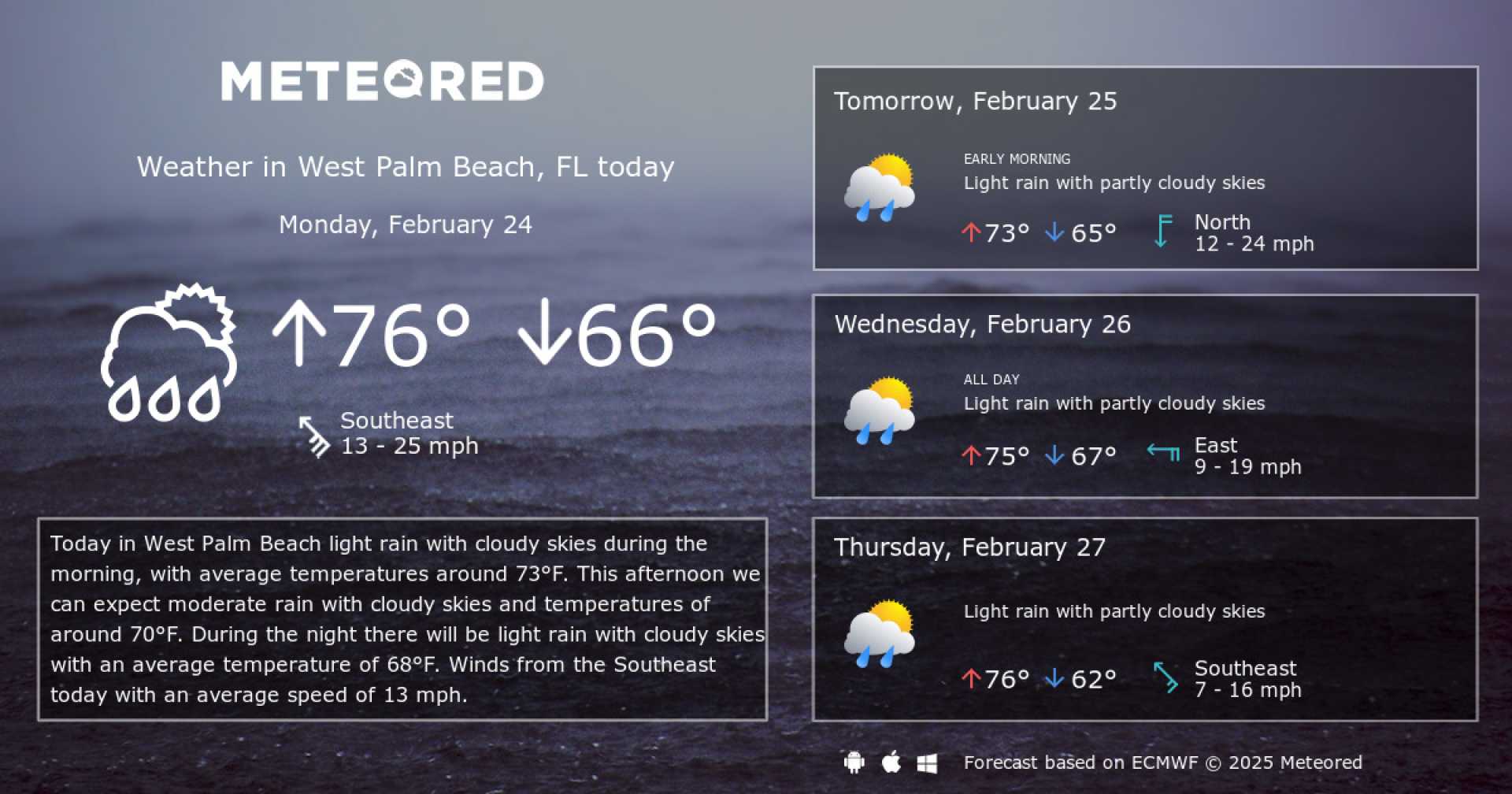
WEST PALM BEACH, Fla. — A significant weather system is set to impact South Florida, bringing heavy rainfall and potential flooding beginning late Monday morning. Residents should prepare for a wet day ahead as clouds gather overnight.
Temperatures across the region are expected to drop, with lows nearing 60 degrees on the Treasure Coast and mid to upper 60s in the Palm Beaches. As a low-pressure system tracks through the Gulf, it will approach South Florida, and rain is forecast to start late in the morning and spread towards the coast in the early afternoon.
“Periods of heavy rainfall are anticipated throughout Monday and into Tuesday morning, with total accumulations likely between 1 to 2 inches,” said Jennifer Collins, a meteorologist with WPTV. “A few thunderstorms may also develop, although the risk of severe weather remains low.”
The National Weather Service has indicated that while the heavy rain could lead to some localized flooding, the overall severe weather threat is minimal. Existing ground conditions are relatively dry, with West Palm Beach approximately 4 inches below normal rainfall levels since January 1.
High temperatures on Monday are expected to reach the mid-70s in the Palm Beaches and near 70 on the Treasure Coast. After the storm system passes, lingering moisture may bring additional showers on Tuesday, but skies are anticipated to clear by Wednesday.
“By Wednesday, we’re looking forward to sunny skies and temperatures climbing back towards 80 degrees,” Collins noted. “However, another cold front is expected to roll through on Thursday, bringing significantly cooler air without much moisture for rain.”
As February closes, highs may struggle to exceed the 60s due to the frontal system. Residents are advised to stay updated on changing weather conditions as this system moves into the area.


