News
Thanksgiving Storm Brings Heavy Snow and Travel Disruptions Across U.S.
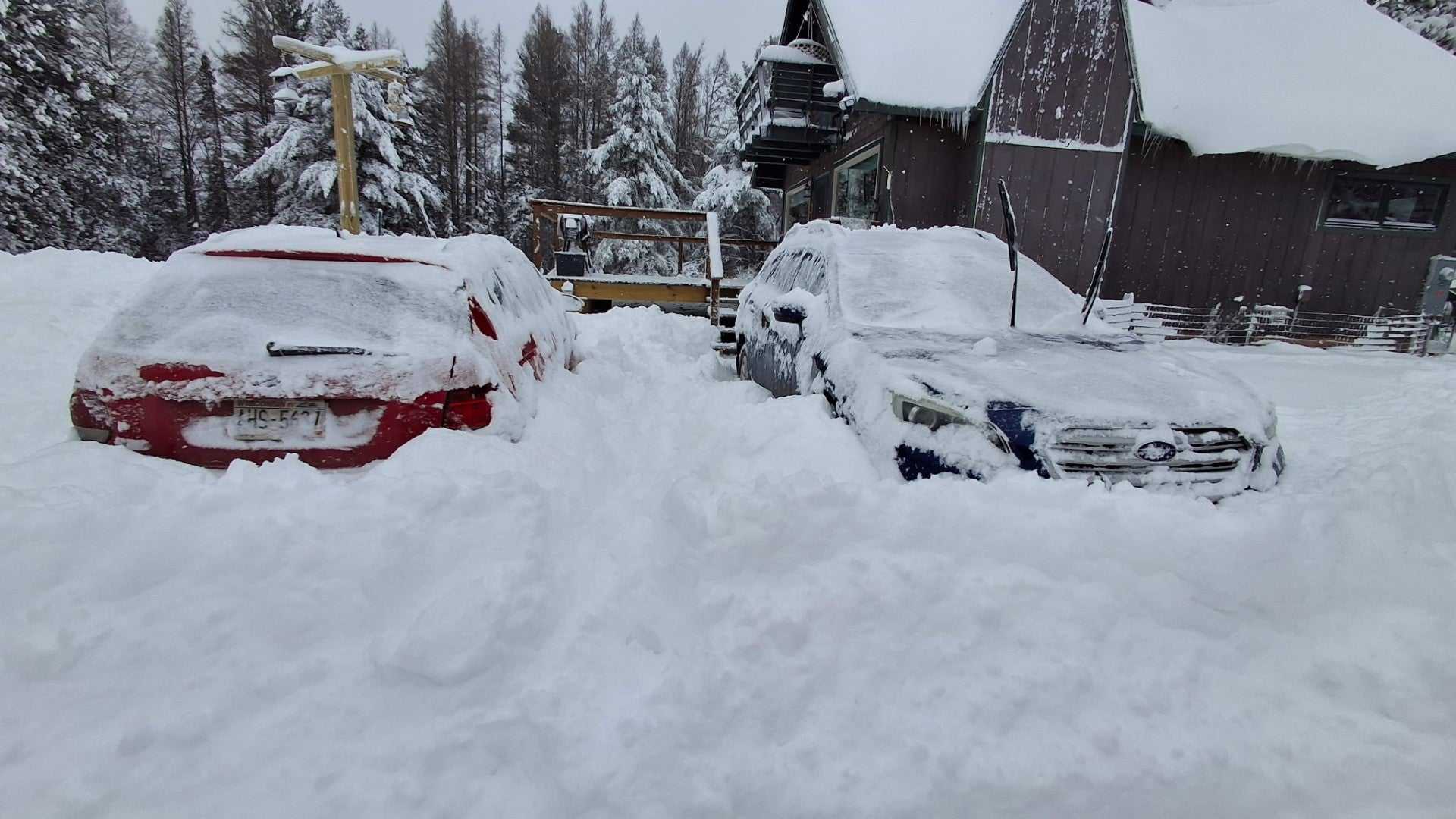
SYRACUSE, N.Y. — A powerful winter storm is sweeping across the United States this Thanksgiving, impacting travel with heavy snowfall and gusty winds. The National Weather Service (NWS) forecasts lake-effect snow, especially in the Great Lakes region, with totals reaching up to three feet in some areas.
The storm began affecting travel as millions of Americans returned home for the holiday. In Northeast Ohio, blizzard conditions are expected to bring between 12 to 15 inches of snow by Friday evening, with gusts up to 50 mph creating hazardous travel conditions. Motorists are urged to exercise extreme caution and check road conditions before traveling.
In Michigan‘s Upper Peninsula, a blizzard warning is in effect until 7 p.m. Thursday as snowfall continues, with some areas experiencing accumulations of over 18 inches. The NWS warned drivers of low visibility and potential power outages due to strong winds.
As the storm system moves east, New York is also facing heavy lake-effect snow, particularly near Syracuse and Buffalo, where residents could see conditions worsen. Forecasters predict that some interstate highways may be temporarily closed due to heavy snowfall and low visibility.
The severe weather isn’t limited to the Northeast. Areas in the Northern Plains and Upper Midwest, including parts of South Dakota and Montana, are under winter storm warnings, with snowfall expected to complicate post-Thanksgiving travel. Travel will be very difficult, and visibility may be significantly reduced.
Saturday is expected to bring some relief with improving road conditions, but forecasters caution that colder weather will linger into December. The NWS encourages travelers to stay updated on weather forecasts and prepare adequately for winter storms.


