News
Tornado Warning Issued for Erie and Surrounding Counties
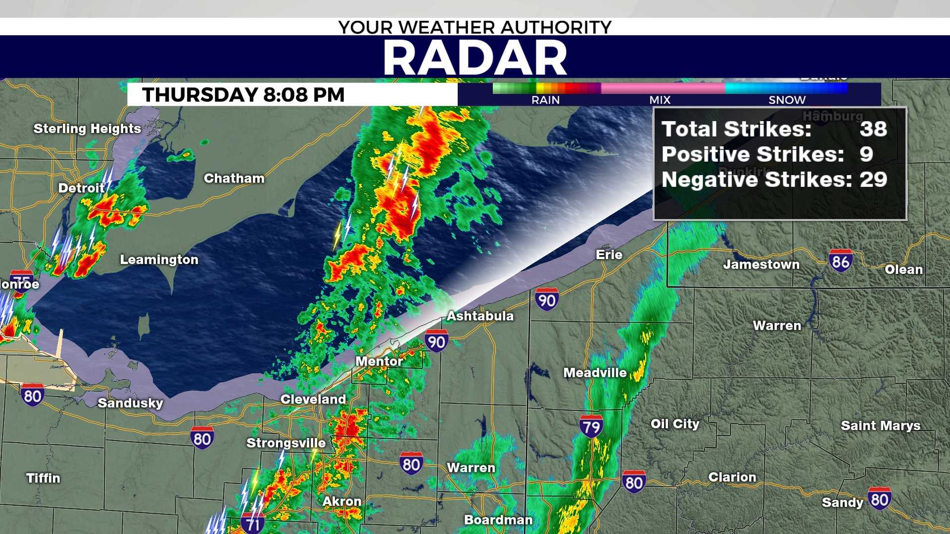
ERIE, Pa. — The National Weather Service has issued an updated tornado warning for Erie County, effective until 6:15 p.m. on Monday. The warning follows the detection of a severe thunderstorm capable of producing a tornado, located over Northwest Harborcreek at 5:39 p.m., moving northeast at 35 mph.
The weather service warns that flying debris could be dangerous for anyone caught outdoors. Mobile homes may be demolished, and damage to roofs, windows, and vehicles is expected. Locations affected by the warning include Erie, North East, Waterford, and Wattsburg.
The National Weather Service urges residents to take cover immediately, advising that people should move to a basement or an interior room on the lowest floor of a sturdy building. Avoid windows, and if outside or in a mobile home, seek substantial shelter.
This tornado warning is a reminder of the importance of understanding the difference between a tornado watch and a tornado warning. A tornado watch means residents should prepare for possible tornadoes, whereas a tornado warning signals immediate action is required.
The weather service also advises regularly monitoring local news or a NOAA Weather Radio for updates and to sign up for community warning notifications. Preparedness steps include creating a family emergency plan and familiarizing oneself with potential safe locations.
As of 5:46 p.m., another tornado warning was issued for Forest and Jefferson counties, valid until 6 p.m. Residents in this area should also seek shelter as a severe thunderstorm capable of producing a tornado was detected located 8 miles north of Brookville.
Authorities reiterate the urgency of swift action when a tornado threat is present and advise all residents to remain vigilant.


