News
Tornado Watch Issued for Northeast Ohio Counties Amid Weather Alerts
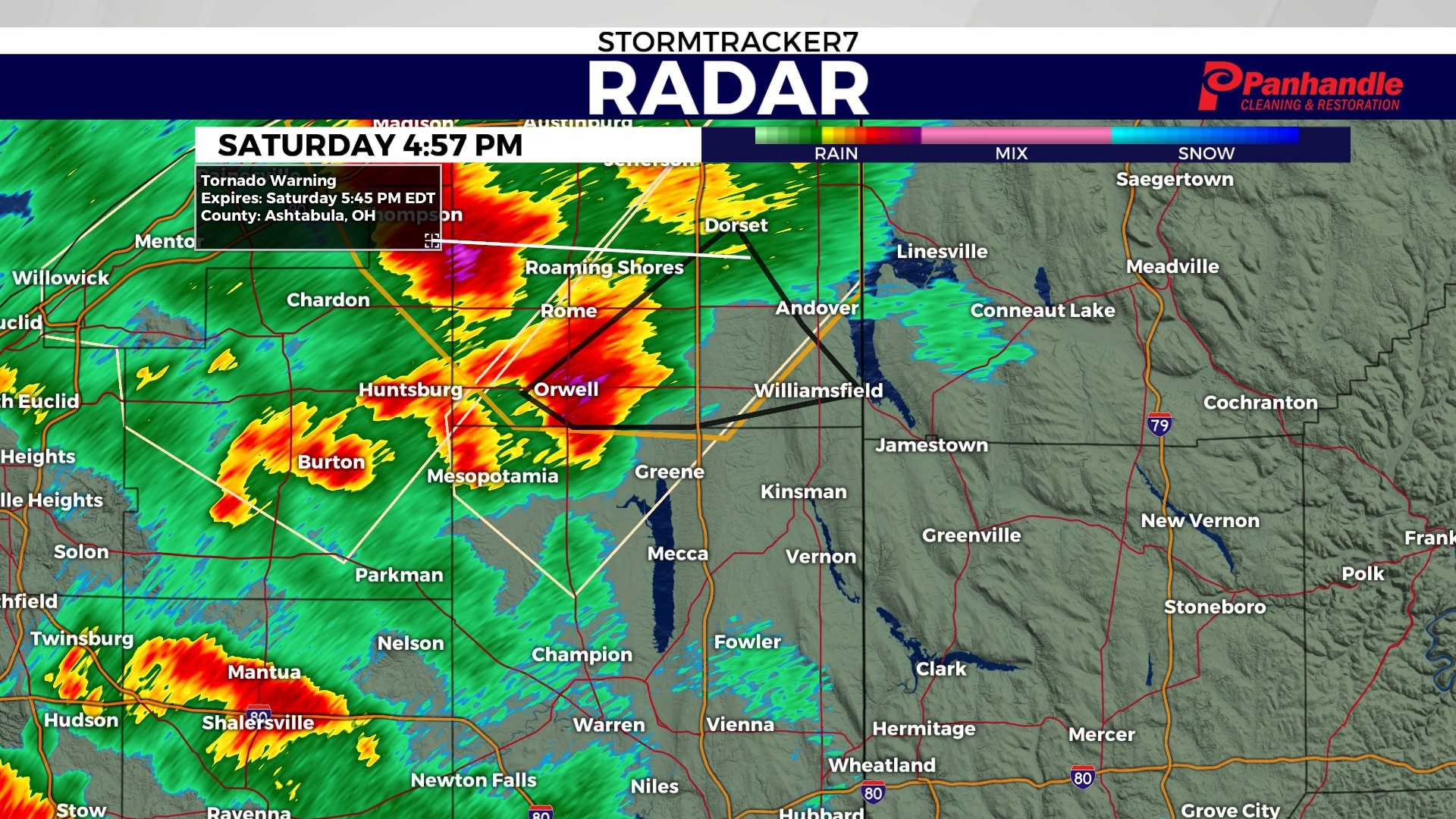
CLEVELAND, Ohio — The National Weather Service has issued a Tornado Watch for several counties in Northeast Ohio as severe weather conditions develop Sunday morning. The watch is in effect until 4 p.m.
Counties under the Tornado Watch include Cuyahoga, Lorain, Medina, Summit, and Portage. Weather alerts indicate a high potential for tornadoes to form in these areas, prompting residents to review their emergency plans.
In addition to the Tornado Watch, a Severe Thunderstorm Warning has been issued for various counties until 1 p.m., with some regions under the warning until 1:15 p.m. The severe thunderstorms may bring heavy rain, strong winds, and the risk of tornado formation.
Phil Sakal, a meteorologist from News 5, provided updates during the morning broadcast, advising residents to remain vigilant. “It’s vital to have a plan in place and to stay alert, as conditions can change rapidly,” Sakal stated.
Residents are urged to prepare for potential storm impacts by checking their supplies and identifying safe rooms within their homes. If a Tornado Warning is issued, indicating that a tornado has been sighted or detected by radar, individuals should take immediate action.
The National Weather Service recommends moving to an interior room on the lowest floor of a sturdy building and avoiding windows. Those in mobile homes, vehicles, or outdoors should seek shelter in a nearby sturdy building to protect themselves from flying debris.
As the day progresses, residents are encouraged to remain tuned to local news and weather updates on the situation. For real-time alerts, the News 5 App and the StormShield app are available for download on both iOS and Android devices.


