News
Ex-Tropical Cyclone Lincoln Causes Heavy Rainfall in Northern Territory

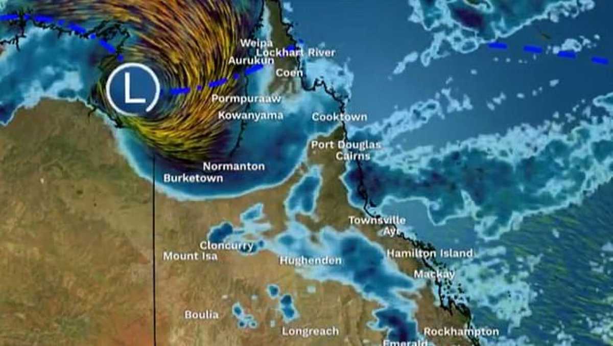
Ex-Tropical Cyclone Lincoln is forecasted to bring heavy rainfall and strong winds across parts of the Northern Territory as it tracks further inland, according to the Bureau of Meteorology.
The system originated as a category one cyclone in the Gulf of Carpentaria between Port McArthur and the NT-Queensland border on Friday afternoon, gradually weakening below tropical cyclone intensity while moving south-west toward the NT’s central Barkly district on Saturday.
Strong winds with damaging gusts of up to 100kph are expected in the warning area, along with the possibility of heavy rainfall leading to flash flooding in certain districts.
Ex-Tropical Cyclone Lincoln is anticipated to move west over the NT and into northern Western Australia, potentially reaching waters west of the Kimberley by the middle of next week.
A flood watch remains in place for various rivers and catchments in the region, with increasing rainfall totals expected over the weekend.
NT Emergency Operations Centre incident controller Superintendent Daniel Shean noted that emergency evacuation centres are currently not required in affected communities, with efforts focused on monitoring the situation closely.
Telstra technicians resolved a two-day outage affecting Borroloola, restoring 3G and 4G services after identifying and replacing faulty transmission equipment.
Borroloola resident Roz Kerr highlighted challenges faced by the community, including restricted access to food due to electronic payment issues and road closures on the Carpentaria Highway.
Despite adequate stocks of frozen goods, some shops are experiencing shortages of essential items like milk, bread, and fresh produce in light of ongoing weather disruptions.


