News
Tropical Cyclone Megan Strengthens to Category 3, Causes Havoc Along Northern Territory Coast

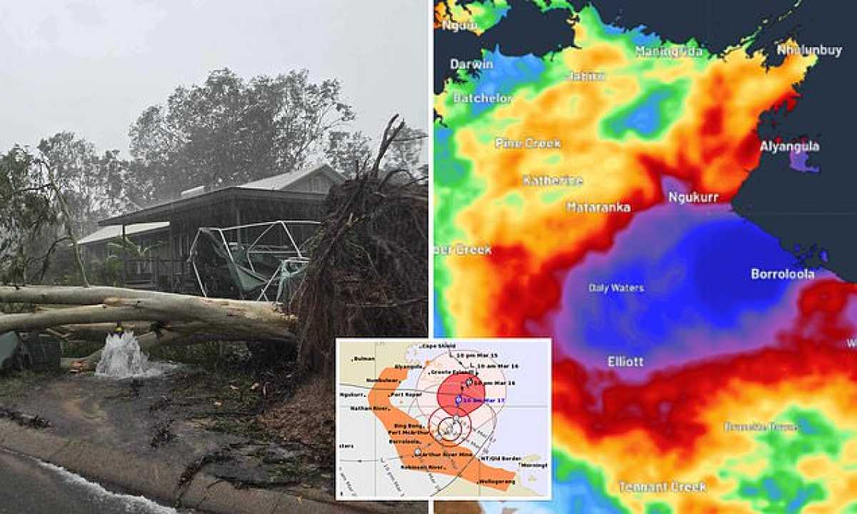
Tropical Cyclone Megan has escalated into a formidable category three cyclone, unleashing substantial rainfall and destructive winds along the Northern Territory coast. The cyclone originated near Groote Eylandt in the Gulf of Carpentaria, impacting areas in Arnhem Land and prompting concerns over infrastructure damage.
As forecasted by the Bureau of Meteorology (BOM), Megan is set to gradually move southwards towards the Carpentaria coast. Projections indicate that the cyclone may reach land as a category three late on Monday or early Tuesday morning, between Nathan River and the NT/Queensland Border. However, there is a possibility of further intensification to a category four, warned BOM forecaster Shenagh Gamble.
A cyclone warning alert spans from Groote Eylandt to Mornington Island, extending inland to Borroloola, McArthur River Mine, Robinson River, Numbulwar, Nathan River, and King Ash Bay. Notably, Ngukurr and Mornington Island are currently excluded from the warning list due to the cyclone’s trajectory.
With Groote Eylandt receiving substantial rainfall, reaching 431 millimeters in a 24-hour period, residents like Alia Stevenson described the harrowing experience of preparing to seek shelter amidst the storm’s fury. The impact of Megan manifested in downed trees, damaged infrastructure including the wharf, road closures, and shuttered community facilities.
On Galiwinku, residents grappled with water and power disruptions following the cyclone’s impact. Darcy Mildenhall, a school teacher, highlighted challenges faced in the community, including a shortage of water and power for a prolonged period. The unexpected intensity of the storm caught many off guard, necessitating communal support and solidarity.
Further west, Gunbalanya faced evacuation due to rising floodwaters amid heavy rainfall, signifying the widespread impact of Tropical Cyclone Megan along the Northern Territory coast and surrounding regions.


