News
Tropical Storm Barbara Forms in Eastern Pacific, Hurricane Possible Soon
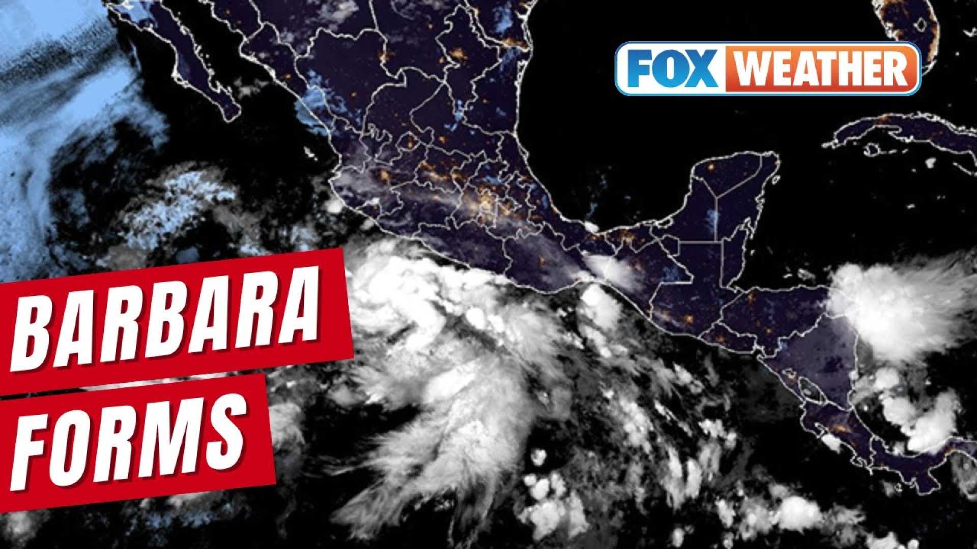
MIAMI, Florida — Tropical Storm Barbara formed in the North Pacific Ocean early Sunday morning, with maximum sustained winds reaching 60 miles per hour, according to the National Hurricane Center (NHC).
Barbara is located approximately 170 miles southwest of Zihuatanejo, Mexico, and is moving west-northwest at 12 mph. Forecasters predict that the storm is expected to strengthen and could become a hurricane later today or tonight.
The NHC has warned that flash flooding may occur well inland, with rainfall totals expected to reach between 2 to 4 inches in the Mexican states of Guerrero, Michoacán, Colima, and Jalisco through Monday. These conditions raise concerns about flooding in low-lying areas.
Satellite imagery indicates that Barbara’s structure is cohesive, which often suggests that the storm is not facing any immediate weakening conditions. Weather experts explain that when a tropical storm becomes stronger, it may develop an eye, a sign of its intensification.
In addition to Barbara, Tropical Depression Three-E has also formed in the Eastern Pacific and could be named Tropical Storm Cosme later today. As these systems evolve, they may interact, with models predicting a potential Fujiwhara Effect next week, where two storm systems rotate around each other.
The Eastern Pacific hurricane season, which began on May 15, has already seen two named storms form, highlighting the unusual early activity. Both hurricane seasons, in the Eastern Pacific and the Atlantic, run until November 30.
Weather officials are monitoring environmental conditions favoring further development of a future low-pressure system south of Mexico, which could translate into additional storms forming later this week.
As the situation evolves, residents in coastal regions are urged to stay informed and prepare in advance for potential impacts from the storms.


