News
West Virginia Braces for Winter Storm Surge, Flooding Risks

HUNTINGTON, W.Va. — A series of winter storms is set to batter West Virginia and surrounding regions, bringing a mix of freezing rain, flooding, and potential snowfall over the coming days. Governor Patrick Morrisey declared a state of preparedness for all 55 counties on Wednesday evening, urging residents to stay vigilant as the National Weather Service (NWS) warns of hazardous conditions.
The first wave of weather arrived Wednesday night, with freezing rain affecting areas north of the Bob Evans Highway in Southern Ohio. Ice accumulation on trees, car windshields, and elevated surfaces prompted concerns about slippery roads and bridges. The NWS issued a Flood Watch for southeastern Kentucky and much of West Virginia, anticipating rainfall totals of 1 to 2 inches, with localized flooding in poor drainage areas.
“Residents should be cautious, especially in rural areas where small streams may overflow,” said Tony, a meteorologist with WSAZ. “Street flooding is likely, and drivers should avoid low-lying roads near waterways.”
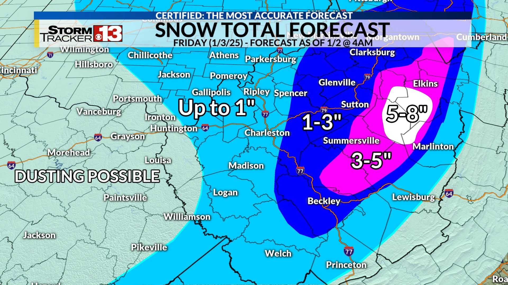
By Thursday morning, the heaviest rains are expected to taper off, leaving behind scattered showers. Temperatures will rise into the 60s by late afternoon, offering a brief respite before another round of rain arrives on Saturday. A cold front will follow on Sunday, setting the stage for potential wet snowfall early next week.
Governor Morrisey emphasized the importance of staying informed. “We are closely monitoring the situation and working with local emergency management teams to ensure public safety,” he said in a statement. “Residents should pay attention to weather updates and follow instructions from officials.”
The West Virginia Emergency Management Division echoed the governor’s warning, advising residents to prepare for rapidly changing conditions. “This is a dynamic weather pattern, and we could see significant impacts across the state,” a spokesperson said.
As the region braces for the stormy stretch, meteorologists are urging caution and preparedness. “This is just the beginning of what could be a very active February,” Tony added. “Stay tuned for updates as we track these systems.”


