News
Wet Weather Returns to New York This Week
STATEN ISLAND, N.Y. — Rainy weather is back in the New York City area starting Tuesday, with a chance of showers throughout the week.
The morning commute on Tuesday started with mild conditions, as temperatures hovered around 60 degrees. Just a few light drops were reported in the southern and western suburbs. However, the rain is expected to gradually move into the city.
Tonight, showers will overspread the area, particularly through the overnight hours. Residents are advised to have umbrellas ready. Meteorologists from the National Weather Service indicate that Wednesday will be the wettest day of the week, with continuous rain expected.
“Wednesday is the soaker day,” said Zack Taylor, meteorologist with the National Weather Service. He noted that rainfall may reach around 1 to 1½ inches from Tuesday night through Thursday, with possible heavier downpours. Temperature-wise, Wednesday will also be cooler, with highs only in the mid-60s.
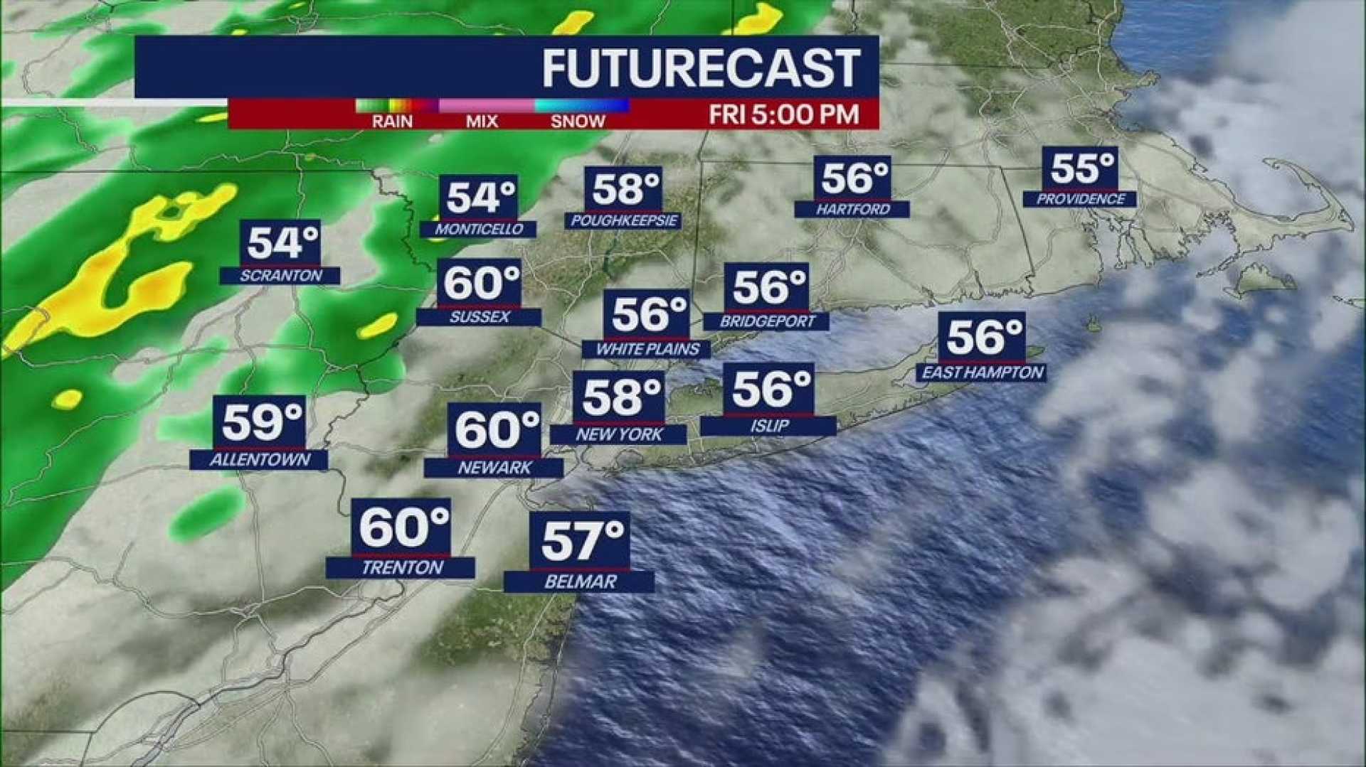
Looking ahead, Thursday will not be as wet, although some lingering showers may occur. Temperatures are expected to rise slightly, approaching 70 degrees. There is, however, a possibility of another round of rain late Friday through Saturday night from a different storm system.
No severe weather alerts have been issued yet, but New Yorkers should be prepared for rain. It is suggested that residents stock up on waterproof gear and make necessary preparations for potential flooding in susceptible areas.
Climate change is contributing to the increased frequency of rainfall events in New York. These extreme weather patterns, sometimes referred to as “cloudbursts,” can lead to heavy rain falling in short periods.


