News
Winter Storm Brings Snow and Slick Roads to Oregon
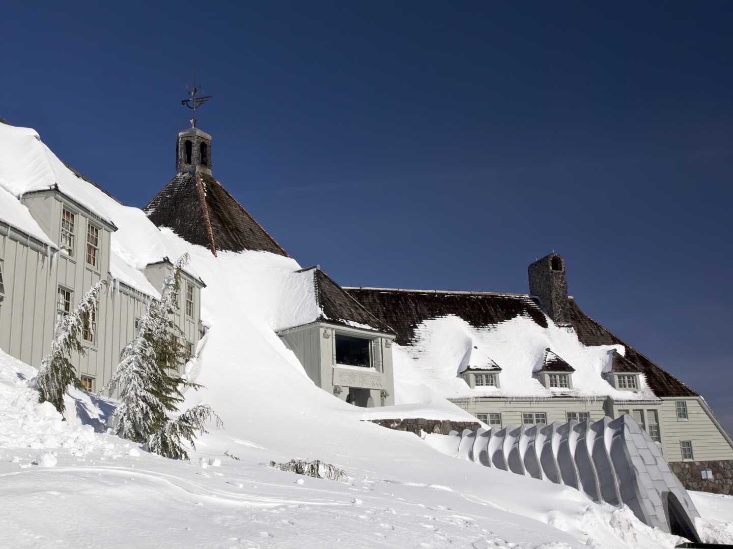
PORTLAND, Ore. (KATU) — After experiencing multiple rounds of low-elevation snow earlier this week, the Portland area will experience one more round before things clear out and calm down. “We could see some mixed showers all the way to the valley floor on Saturday morning,” Storm Tracker 2 Meteorologist Rhonda Shelby said. Possibly sticking snow at 500 feet, but the real impact will be above 1,000 feet like the Coast Range and Cascades.”
Driving conditions will be tricky especially if you are headed east.“You need to prepare for winter driving if you have to go east because once you get into Central Oregon, there is new snow on the ground from last night and there will be more today and tomorrow,” Shelby added.
More snow is expected in southern Oregon as well. Klamath Falls, which received several inches of snow the last few days, could see another 6 to 8 inches.
Next week, it will turn much colder with dry conditions. Low temperatures are forecast to bottom out in the lower 20s with highs in the upper 30s. “We need to prepare for the coldest temperatures we’ve seen so far,” Shelby stated.There is a slight chance of mixed showers again toward the end of next week.


