News
Winter Storm Hits Massachusetts, Causes Slippery Commute

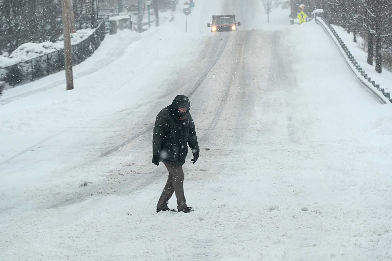
DEDHAM, Mass. — A winter storm impacting Southern New England overnight has created slushy and icy road conditions, prompting numerous school delays for Thursday morning. The National Weather Service issued a winter weather advisory effective until 10 a.m., warning resident drivers to exercise caution.
The storm arrived late Wednesday and initially produced light snow, which has since transitioned to a mix of sleet, snow, and rain. According to StormTeam 5 Chief Meteorologist Cindy Fitzgibbon, motorists should expect difficult travel conditions during the morning commute, particularly in regions north and west of Boston.
“Temperatures are running near the freezing mark, which is why we are experiencing both snow and ice,” Fitzgibbon said. “The freezing rain will be the most problematic as we move forward through the morning.”
Snow accumulations have varied, with forecasters predicting up to an inch across eastern Massachusetts, including Boston and the South Shore, while parts of northern and western Massachusetts could see one to two inches. Areas in northern New England, particularly Maine, are likely to experience heavier accumulations as the storm strengthens and moves northward.
By 6:00 a.m., meteorologists noted a considerable flip to rain as temperatures are expected to rise. Earlier snowfall will wash away in southeastern Massachusetts by mid-morning, although conditions remain icy on roads, especially in interior areas.
Specifically, the Worcester Hills and Merrimack Valley could see a period of freezing rain following the snow, with potential ice accumulation between trace amounts and a tenth of an inch. Fitzgibbon expressed concerns for the morning commute, stating, “Some of these spots up north tomorrow are going to struggle with snow and ice during the morning commute.”
Looking ahead to later in the day, Fitzgibbon expects the precipitation to diminish by noon, allowing for an easier ride home during the late afternoon. Highs for Boston are forecasted to reach the low 40s, with a southerly wind expected to bring warmer air across the region.
Areas along the Cape and islands will see steady rain in the morning, shifting to scattered showers. Meanwhile, northern regions of New England will continue to experience snow into midday, with steady accumulations tapering off by afternoon.
Effective measures, such as sun and wind, are anticipated later today, with wind gusts reaching up to 30 miles per hour across the region. However, Arctic air will return in the next few days, likely impacting travel plans over the upcoming weekend.
In preparation for the next system expected by Saturday, residents are reminded to monitor updates for further forecasts and any travel advisories. Fitzgibbon added, “If you have any travel plans, slick travel is going to be a concern through the day on Sunday.”


