News
Winter Storm Hits Colorado, Dangers Persist Amid Spring Warm-Up
DENVER, Colo. — A First Alert Weather Day has been declared for Friday as a fast-moving snow storm moves through the central Rockies. Heavy snowfall has been reported across the Front Range since late Thursday afternoon, prompting various weather warnings.
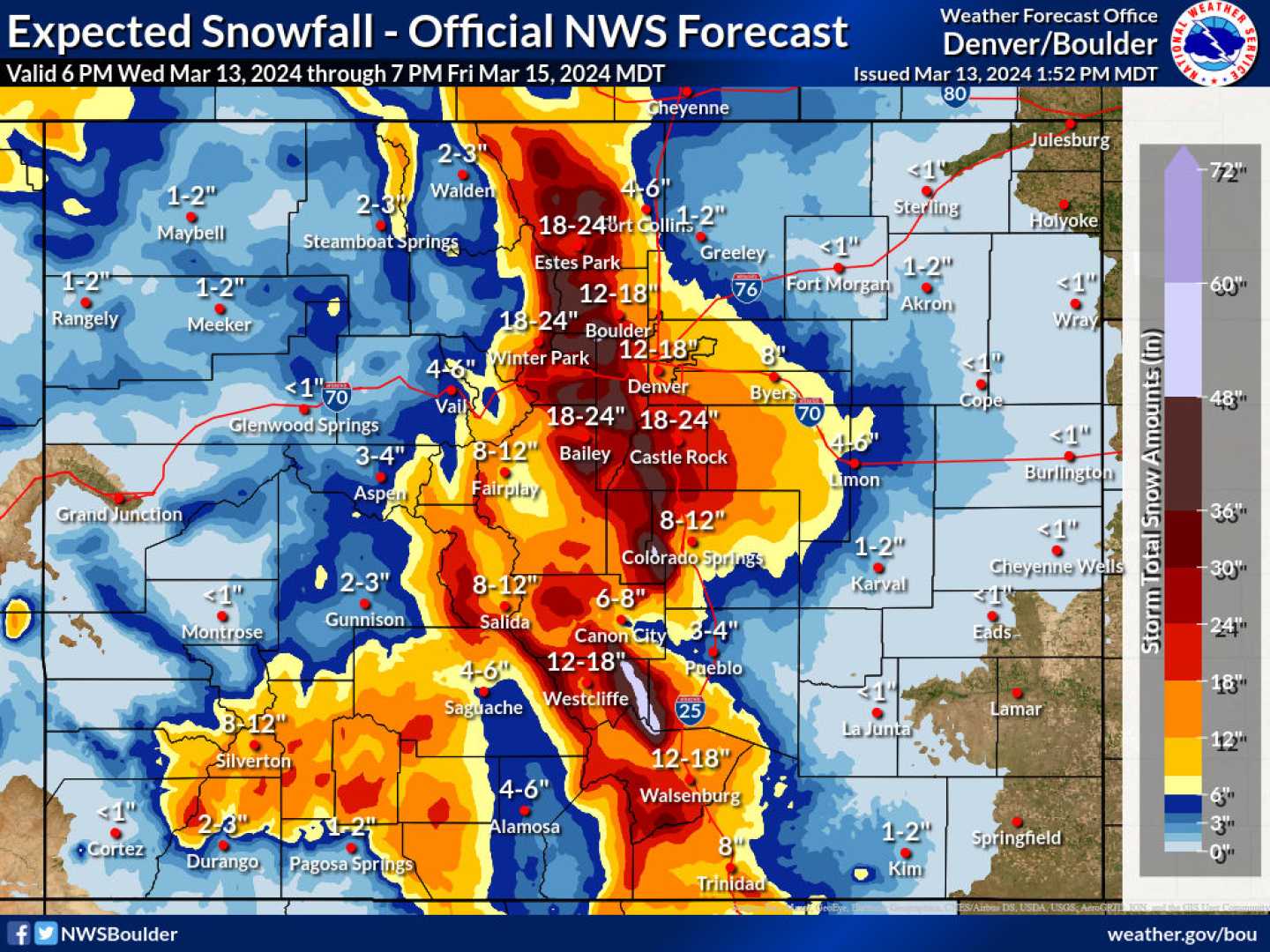
A Winter Storm Warning is currently in effect for the foothills of West Jefferson and Douglas counties, where accumulations of 12 to 18 inches of snow are expected. Meanwhile, a Winter Weather Advisory covers the Denver metropolitan area extending to Boulder and down to Colorado Springs, with forecasts predicting 3 to 7 inches of snow in Denver and 4 to 8 inches from Castle Rock to Monument Hill.
In higher foothill and mountainous regions, snowfall estimates range from 4 to 12 inches. As the system moves in, temperatures across Colorado are expected to plummet. Denver could see daytime highs near the low teens, while the eastern plains may experience single-digit temperatures. A cold weather advisory is in effect for this region through Friday morning, with wind chills potentially reaching 16 degrees below zero.
“The rapid change in weather conditions means people should prepare for potential travel difficulties,” said CBS News Colorado Chief Meteorologist Dave Aguilera. Aguilera emphasized the need for caution as wind gusts could reach up to 40 mph, creating hazardous conditions especially over mountain passes.
As the storm begins to subside Friday afternoon, temperatures are anticipated to rise above freezing, providing a temporary reprieve from the cold. However, a significant weather shift is set to take place leading into the week. Starting on Monday night, another wave of arctic air is forecast to settle over the area, stirring up light snow across various parts of northeast Colorado.
The cold front will keep temperatures well below freezing, particularly in the northern plains, where lows could potentially dip into single digits. Additionally, an extreme cold watch will be in effect from Monday through Thursday for the eastern plains, as wind chills could reach as low as -30 degrees Fahrenheit.
“It’s essential for residents to stay safe during this cold snap and be ready for potential travel disruptions,” Aguilera added. With predictions of further snow accumulation and the presence of freezing temperatures on Tuesday, conditions could intensify in the region.
Localized bands of heavier snowfall are expected, while Wednesday night into Thursday will likely see yet another storm sweep through, impacting both mountains and lower elevations. By Thursday night, the atmosphere should undergo another transition, increasing the chances for widespread snowfall.
Despite the harsh cold conditions forecasted earlier in the week, a warm-up is on the horizon. By Friday, temperatures are predicted to rise into the 60s, suggesting a significant improvement over the preceding frigid days.
As the week progresses, residents are advised to remain vigilant and prepared as they navigate through the fluctuating winter weather conditions.


