News
Winter Storm Hits Upstate New York with Heavy Snow and Gusty Winds
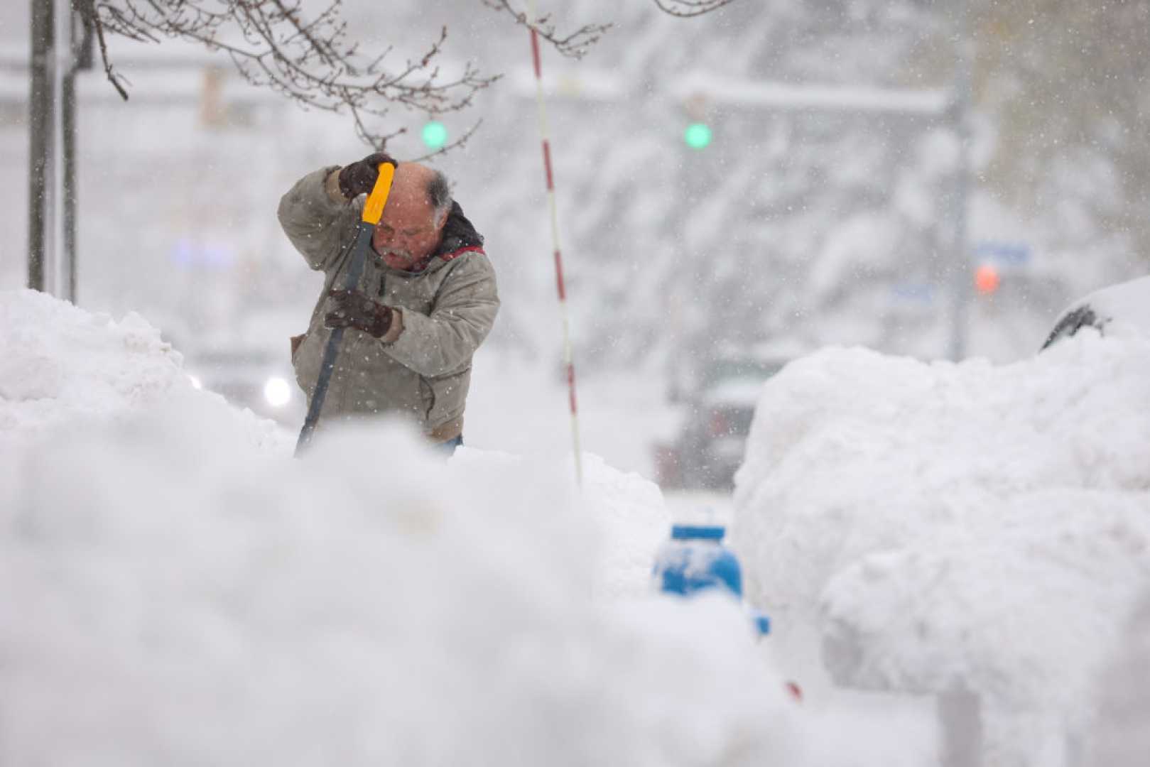
BUFFALO, N.Y. — A winter storm is sweeping through Upstate New York, bringing heavy snowfall and gusty winds to the region. The National Weather Service has issued a winter storm warning for Southern Erie, Wyoming, Cattaraugus, and Chautauqua counties, effective from 1 p.m. this afternoon through early Sunday morning. Snow accumulations are expected to reach 10 to 20 inches in the most persistent bands, with the highest totals in the hills of Southern Erie County and northern Chautauqua County.
Winds gusting up to 35 mph will cause blowing and drifting snow, creating hazardous travel conditions. A Winter Weather Advisory is also in effect for northern Erie County and Genesee County until 4 a.m. Tuesday, with 2 to 5 inches of snow expected. The Buffalo Metro area and Niagara Falls could see a quick 1 to 2 inches of snow during the morning commute, followed by lake effect snow shifting northeast and east of the lake throughout the day.
Syracuse, N.Y. — Upstate New York is also bracing for snow squalls today, which could drop a coating of slippery snow amid falling temperatures and strong winds. The cold front delivering these squalls is expected to produce lake effect snow through Wednesday. Snow squalls, accompanied by wind gusts of 20 mph or more, will move from west to east, starting in Western New York this morning and reaching Syracuse between noon and 6 p.m. Albany could see squalls between 3 and 6 p.m.
While snow squalls typically bring minimal accumulation, they can rapidly reduce visibility and create slippery road conditions. The National Weather Service warned, “These snow squalls will have the potential to bring a brief period of heavy snow and gusty winds that could quickly produce a half inch of snow across the area.”
Lake effect snow will continue to hammer Western New York and the Tug Hill Plateau through Wednesday afternoon, with 1 to 2 feet of snow possible in areas under the most intense snow bands. Winter weather advisories are in effect for these regions from 4 p.m. today until 1 p.m. Wednesday. By Tuesday night, winds will shift, bringing lake effect snow into Central New York and the Finger Lakes. Syracuse is expected to receive 3 to 4 inches of snow by Wednesday afternoon, while Auburn and Skaneateles could see 4 to 6 inches.
This month has already been the snowiest early January in Syracuse since 2018, with 24.4 inches of snow recorded since Jan. 1, well above the normal 14.4 inches for this time of year. Residents are advised to stay tuned for updates from local weather teams and prepare for potentially dangerous travel conditions.


