News
Storms Sweep Across New Hampshire, Severe Watch Expired
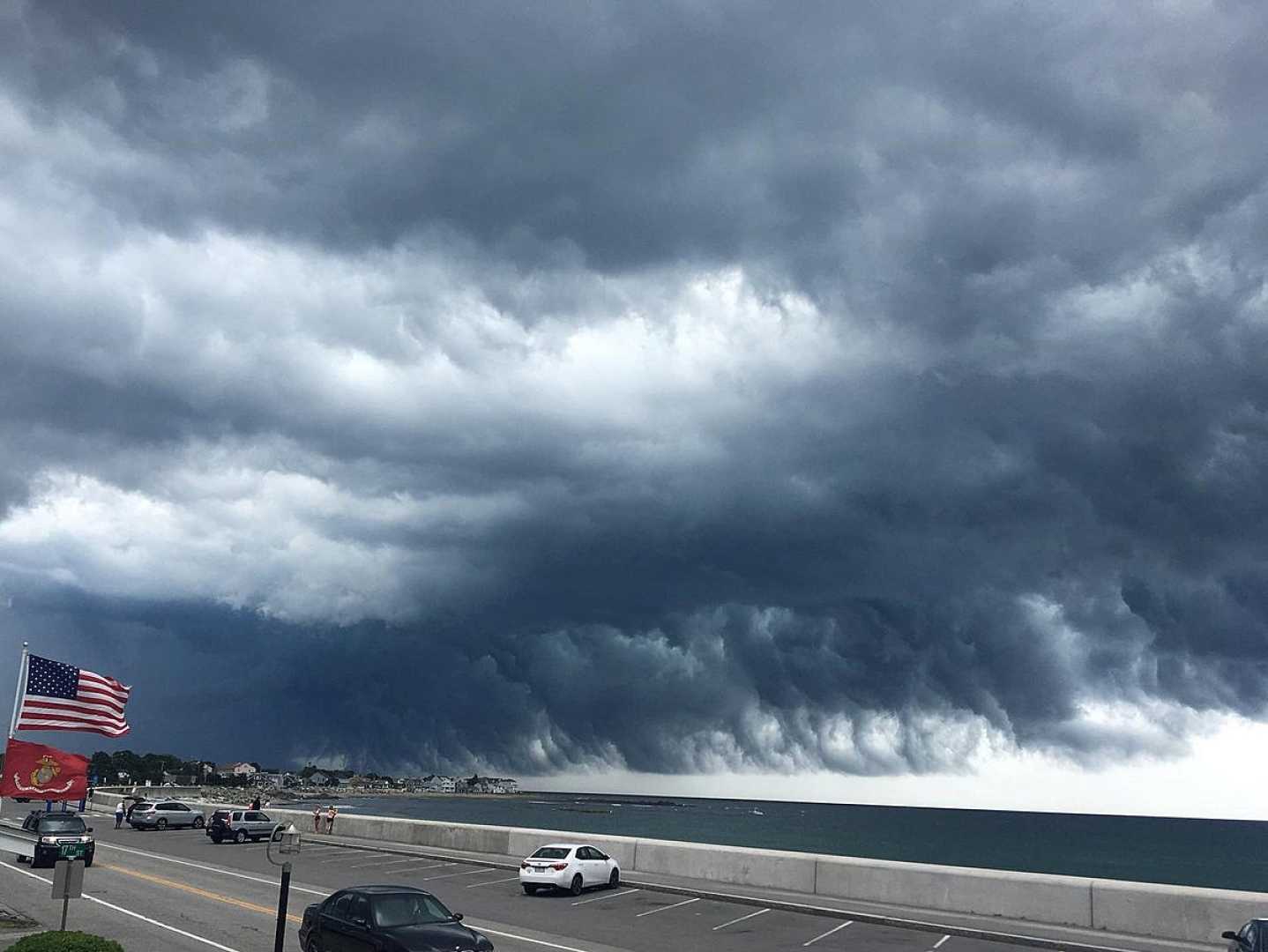
MANCHESTER, N.H. — Storms swept through New Hampshire on Thursday evening, prompting severe weather warnings across the region. A severe thunderstorm watch was issued for Coos County, in effect until 11 p.m., but was later canceled.
The main threats from these storms included heavy downpours, damaging winds, hail, and lightning. A heat advisory was also in place until 7 p.m. for parts of Hillsborough and Rockingham counties, impacting areas such as Exeter, Derry, Salem, Nashua, and Manchester. In these areas, the heat index soared to a sweltering 99 degrees.
Communities outside the heat advisory also experienced sticky and humid conditions, with temperatures reaching the mid-80s in northern parts and nearing 90 in the south. A few isolated showers and thundershowers were expected to linger overnight, primarily in the northern and western parts of the state.
Looking ahead to Friday, the weather will shift with breezy conditions and reduced humidity. Expected temperatures will range from the 70s to near 80 degrees as summer officially kicks off. While some northern areas may see isolated showers, the day is anticipated to feature mostly bright skies.
Saturday is predicted to bring mostly dry and warm conditions. However, late Saturday evening into early Sunday, a higher chance for showers and thunderstorms is expected due to an approaching warm front.
As the week progresses, more heat and humidity will build, with highs likely to reach the 90s by Monday and Tuesday.


