News
Severe Storms Expected Tonight in Kansas City Area
KANSAS CITY, Mo. — Residents of the Kansas City area should prepare for severe thunderstorms this evening and into the night, as weather officials issue warnings for flooding and high winds. Severe thunderstorms are expected to develop later today, with the potential for damaging winds and heavy rain.
The storms, which are currently moving into Leavenworth County and parts of Atchison County, are predicted to reach other areas of the metro by 8 p.m. Gusts could exceed 50 to 60 miles per hour, and quarter-sized hail may accompany the storms.
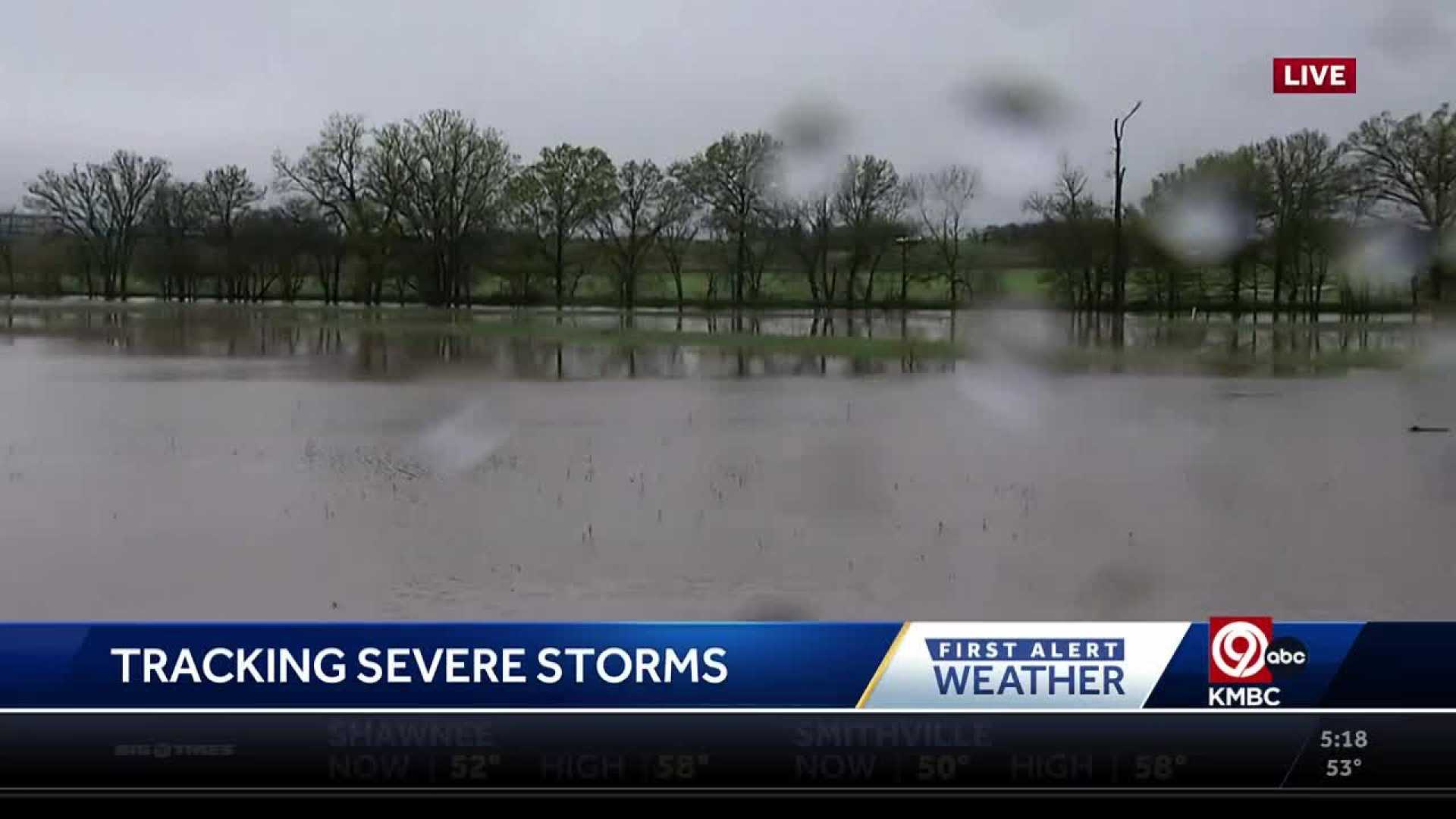
According to the First Alert weather team, a severe thunderstorm watch is in effect until 9 p.m. for several counties north of Kansas City. As the storms approach, flooding is a significant concern, especially in regions that have received heavy rainfall recently.
“This system could bring widespread heavy rain that might lead to flash flooding, particularly in areas that have experienced consecutive storms,” said a meteorologist with the National Weather Service. The ground in many parts of the metro is already saturated, increasing the risk of flooding.
Overnight lows are expected to settle in the low 70s, but Friday is forecasted to bring partly sunny skies and heat, with temperatures rising back towards 90 degrees.
This weekend, Kansas City will experience continued high temperatures and humidity, with highs exceeding 90 degrees. Clouds will gather again on Sunday as another storm system approaches, likely bringing more rain Sunday night and lingering showers into Monday.
Following the storms, temperatures are expected to drop into the mid-80s. Looking ahead, the area will see a return to seasonal weather with highs remaining in the upper 80s to near 90 degrees leading into the Fourth of July weekend. Storm chances may occur again on Friday and Saturday.


