News
First Snow of the Season to Disrupt Monday Morning Commute
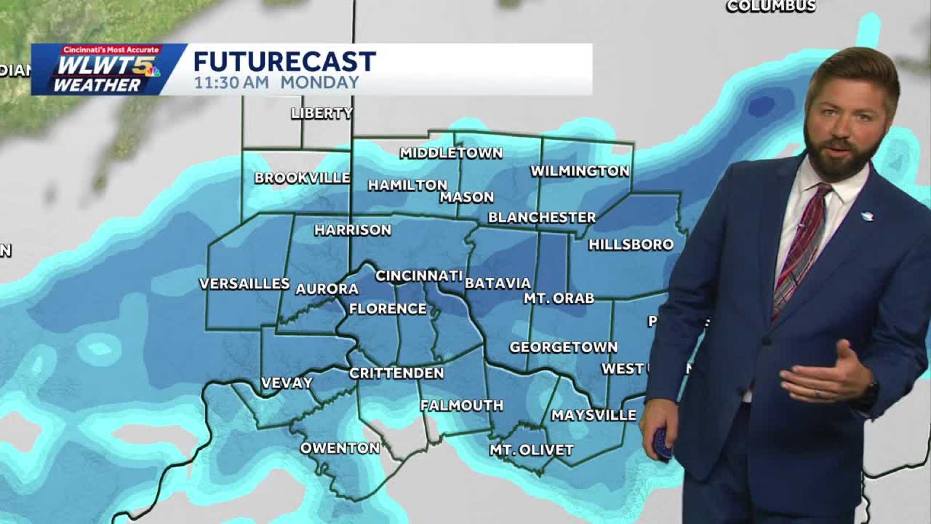
CINCINNATI, OH — This weekend began with rain, but forecasts predict the first significant snow of the season will sweep through the area Sunday night into Monday morning.
Snow showers are likely to begin impacting the Monday morning commute, with some areas expecting moderate accumulation. Light flurries have already begun falling, particularly around Cheviot, Colerain, and Redding, with heavier bands of snow in parts like Cold Springs.
According to meteorologists, most regions should expect at least a dusting of snow by morning. Residents along and east of I-71 may see up to two inches, primarily on elevated grassy surfaces, while roadways might remain mostly clear due to warmer ground temperatures.
Winter weather conditions are also set to bring colder temperatures, with wind chills expected in the teens early Monday morning. Actual temperatures will reach the mid-30s, but with gusty winds, it will feel significantly chillier.
Travelers are advised to exercise caution, especially on bridges and overpasses where temperatures vary, as icy patches may form. Gusty winds around 20 to 40 mph are expected, contributing to a frigid wind chill that could make conditions hazardous.
Forecasters recommend planning accordingly, as conditions may lead to delays in morning traffic. The snow is predicted to linger into Monday afternoon before clearing later in the day.
As the winter weather settles in, Cincinnati residents should prepare for additional cold days ahead. The chill will continue into Tuesday, with morning temperatures dropping into the mid-20s.


