News
Upstate New York Faces Heavy Snow and Hazardous Driving Today
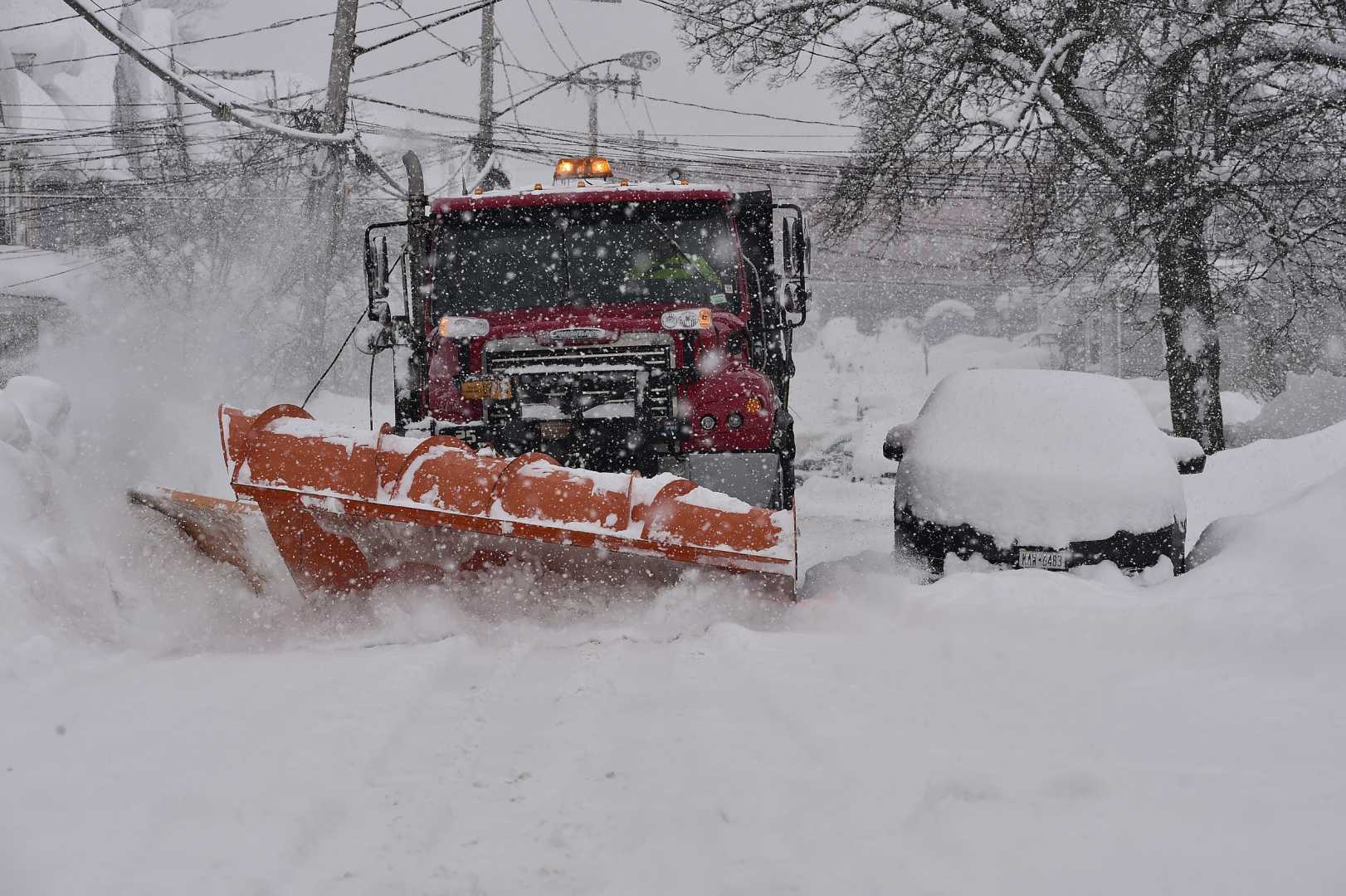
Syracuse, N.Y. — Upstate New York is preparing for its first major winter storm of the season today, bringing heavy snowfall and strong winds that are likely to create hazardous driving conditions.
According to the National Weather Service, areas adjacent to Lake Erie and Lake Ontario could see multiple inches of snow. Forecasts suggest that Syracuse may receive up to 6 inches, while regions such as Tug Hill and southwestern New York could experience even higher totals due to lake-effect snow.
The National Weather Service advises residents to anticipate slippery roads. They state, “Plan on slippery road conditions. Several rounds of lake effect snow showers, wind, and any heavier snow showers may reduce visibilities.” Snow will fall intermittently throughout the day as shifting lake-effect bands move across the region.
Wind gusts are expected to reach up to 30 mph, worsening visibility conditions and making travel difficult. Temperatures are forecasted to reach the mid-30s, but with the wind chill, it will feel much colder, around the mid-20s.
In Western New York, snowfall is anticipated to taper off by early afternoon, while Central New York may see snow decrease by the evening. However, some isolated snow showers could remain into Wednesday morning.
The snow accumulated today is not expected to last long. Temperatures will climb into the 40s on Wednesday, accompanied by light rain throughout the day.


