News
Cold Front to Bring Severe Weather and Cool Temperatures to Texas

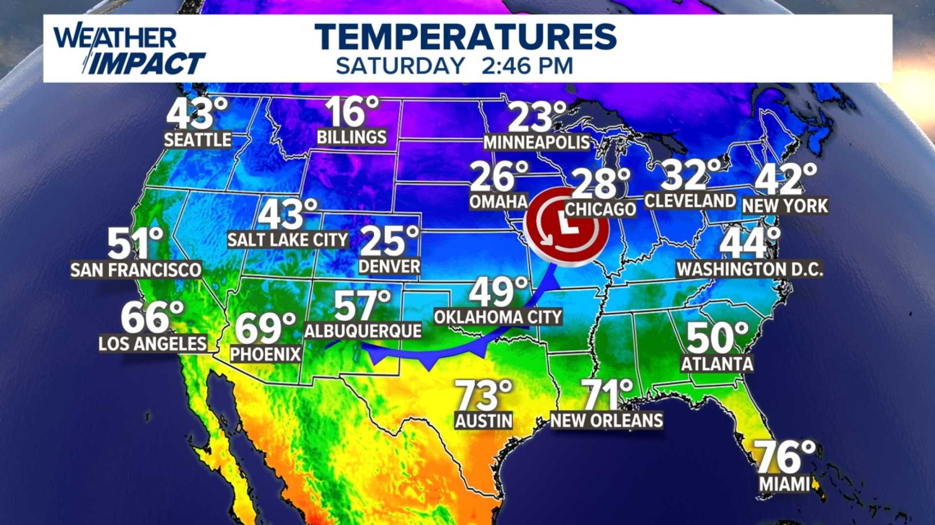
AUSTIN, Texas — A cold front is set to move into Central Texas late Saturday evening, leading to cooler temperatures and the potential for severe weather. Meteorologists are tracking this system as it approaches the region, predicted to reach Austin by Sunday morning.
The front will arrive after a warm Saturday afternoon, where high temperatures may reach the high 70s to nearly 80°F. This unseasonably warm weather will likely create conditions conducive to thunderstorms as the front advances in the evening.
At approximately 8 p.m., isolated thunderstorms are expected to develop primarily along the I-35 corridor. Areas including Bastrop, Giddings, and Lockhart may experience heavy rainfall, adding to concerns for localized flooding and swollen road crossings.
The Storm Prediction Center has designated this event as a level 1 out of 5 “marginal” risk, indicating that while severe weather is possible, it is considered low. Risks include gusty winds, small hail, and isolated tornadoes. As the front moves in after midnight, winds from the north are predicted to gust between 35-45 mph.
By Sunday morning, temperatures in the Austin metro area are expected to drop to the low 40s, with wind chill values making it feel even colder. Residents are advised to secure outdoor decorations and trash cans due to the anticipated high winds.
As the cold air settles in, afternoon temperatures are projected to remain around 50°F under cloudy conditions. Light rain showers are possible on Monday, followed by clearer skies and relatively warmer temperatures reaching the mid-70s by next weekend.
The cold front is part of a larger winter weather pattern moving across the United States, affecting not only Texas but several states in the Midwest and Ohio Valley. Meteorologists will continue to monitor the situation closely to provide updates as conditions evolve.


