News
Arctic Blast and Winter Storm Warnings Hit Michigan
DETROIT, Michigan – A severe winter storm is expected to impact Michigan as dangerously cold temperatures hover over the region. Meteorologists have indicated that an Arctic blast will lower daytime highs, with wind chills plunging into sub-zero territory.
This shift in temperatures is due to a change in the Polar Vortex, allowing colder air typically confined to the north to sweep through the state. As a result, several regions, especially in the eastern Upper Peninsula, are under a Winter Storm Warning.
The National Weather Service (NWS) in Marquette has forecasted that areas like Chippewa County could see up to a foot of snow between now and Thursday, with hazardous travel conditions expected. The warning is active until 1 p.m. Thursday, citing potential wind gusts of up to 35 mph that could exacerbate blowing snow and reduce visibility to less than 1/4 mile.
“Travel could be very difficult,” the Winter Storm Warning states. “The hazardous conditions could impact the Thursday morning commute.”
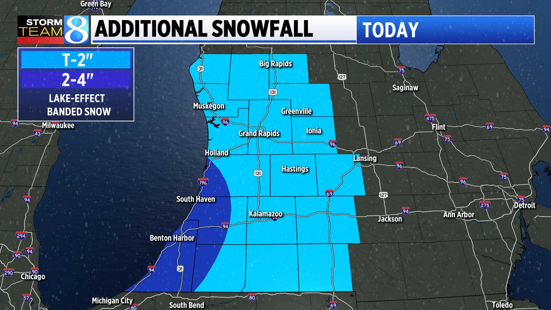
Looking at broader forecasts, northern Chippewa County is expected to accumulate 6 to 12 inches of snow, while other parts of the eastern Upper Peninsula are set for 3 to 7 inches of lake-effect snow by Thursday morning. Widespread light snow is also anticipated across much of Lower Michigan, with 1-2 inches likely by the end of Wednesday.
In temperatures that feel 20 degrees colder than average, high temps in the Upper Peninsula will only reach the low to mid-teens, while Lower Michigan is predicted to see the low 20s.
The NWS warns that these frigid conditions are likely to linger throughout the week, with multiple weak weather systems bringing opportunities for light snow on Friday night, Sunday, and possibly Monday. The cold pattern is projected to persist, making it one of the coldest starts to December in decades.
Residents are advised to prepare for significant winter weather impacts and to stay updated on travel conditions as the storm develops.


