News
Central Indiana Braces for Heat Wave After Storms Bring Uneven Rainfall
INDIANAPOLIS, Indiana — A heat wave is expected to settle over central Indiana next week after storms brought uneven rainfall across the region. Following a wet Sunday evening, some areas received more than 4 inches of rain, while others barely measured a tenth of an inch.
Monday’s forecast indicates that spotty downpours may still occur, especially in southern Indiana. However, for most, drier conditions are anticipated. Today’s temperatures will reach the mid to upper 80s, with humid air making it feel more comfortable compared to what is ahead.
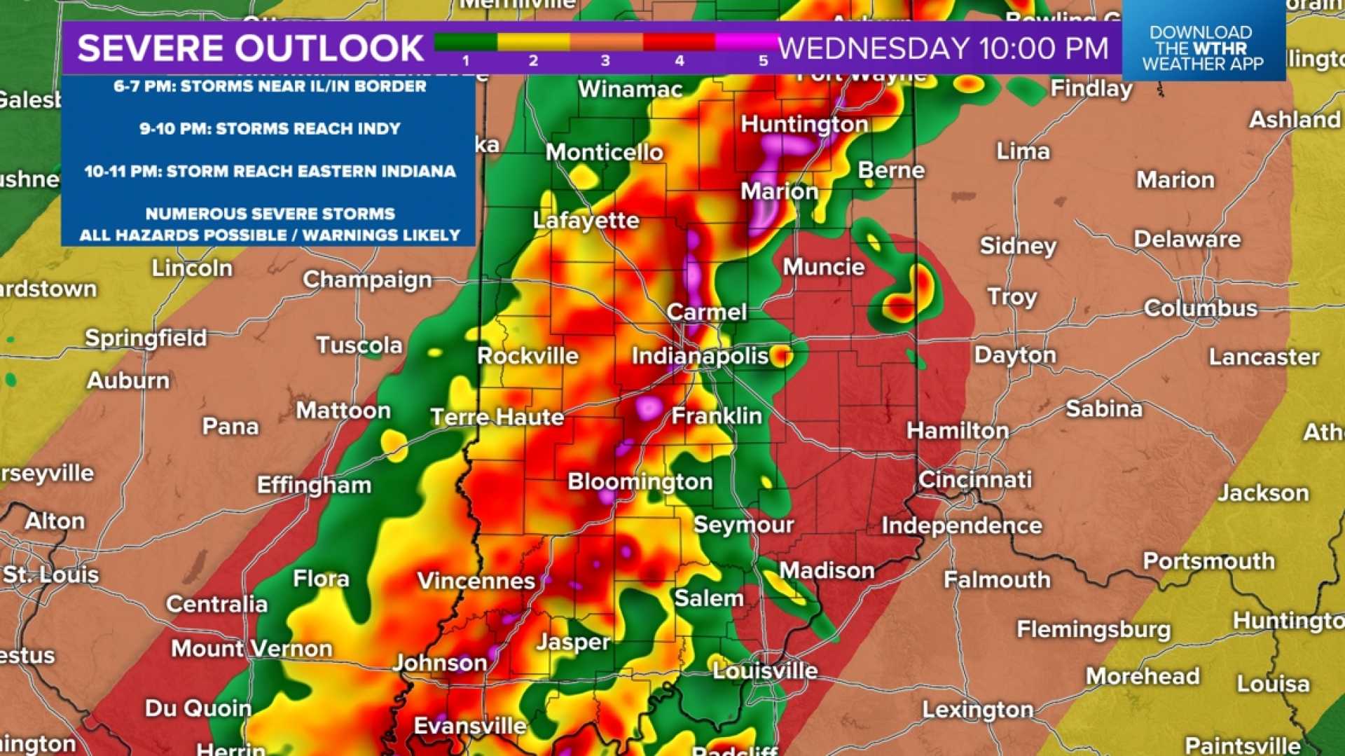
As the week progresses, humidity levels are set to rise, with dew points potentially reaching the mid to upper 70s. This influx of moisture will create ideal conditions for afternoon storms, particularly on Tuesday and Wednesday, when another upper-level disturbance is expected to sweep across the state.
The National Weather Service predicts that the heat that begins middle of next week may lead to heat index values climbing between 105 and 110 degrees over consecutive days. The most intense heat is expected from July 22 to July 24.
Meteorologists are keeping a close eye on how far central Indiana sits within this heat pattern. It could either experience oppressive heat with fewer storms or remain at the edge, where strong storm clusters could develop.
Officials have already advised residents to be prepared for potential heat alerts next week, especially for at-risk groups. It is recommended to adjust outdoor plans due to the likelihood of high temperatures and humidity.
This week’s forecasts will be closely monitored as the WTHR Weather Team provides updates on the evolving weather patterns affecting summer activities in the region.


