News
Chicago Braces for Winter Storm with Significant Snow Potential
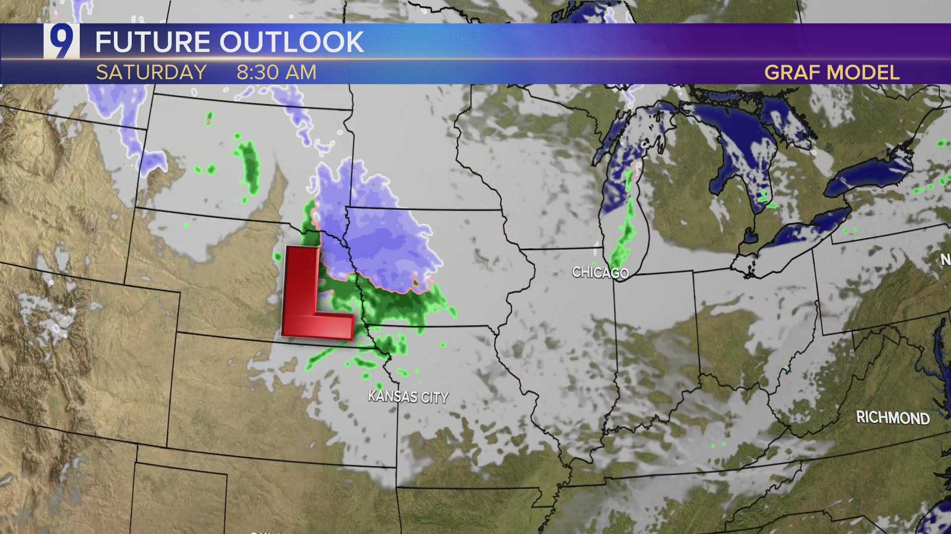
CHICAGO, Illinois — The Chicago area is bracing for a significant winter storm expected to bring multiple inches of snow from Sunday evening into Monday morning.
The National Weather Service has issued a Winter Storm Watch for Cook County, Indiana‘s Lake County, and Porter County. This watch is in effect from midnight Sunday through noon Monday.
Forecasters predict a lake-effect snow band will form in northwest Indiana, which could drift towards the Chicago area. The snowfall could create hazardous travel conditions for commuters on Monday morning.
According to ABC7 meteorologists, snow could accumulate at a rate of 2 inches per hour in some regions. Forecast models indicate possible accumulations ranging from 1-3 inches, with some estimates suggesting up to 6 inches.
Before the storm hits, scattered snow and rain showers are expected Saturday night. On Sunday, temperatures will drop into the 30s, with gusty winds up to 35 mph making it feel even colder. No significant accumulation is expected during the day, but lighter snow could leave slushy conditions on grassy areas.
As night falls on Sunday, temperatures will fall into the 20s across the region.
Residents are advised to prepare for the cold and monitor updates as the storm approaches.


