News
Houston Faces Expanding Drought and Elevated Fire Risk
HOUSTON, Texas — Dry weather will persist in the Houston area for the foreseeable future, with warmer afternoons and pleasant mornings. As drought conditions expand in the region, the wildfire risk is notably increasing, particularly to the north and east of the city.
This morning, many residents experienced mild temperatures in the 60s, making the outdoor conditions feel quite agreeable. However, as nighttime approaches, cooler temperatures are expected. The low humidity allows for this cooling, contributing to warm to hot days as the week unfolds.
Recent observations indicate that drought has begun to encroach into the Houston metro area. Previously, dry conditions were only noticed on the outskirts, but now they are affecting the immediate city. With no rain in the forecast for the next week, these drought conditions are likely to continue to expand.
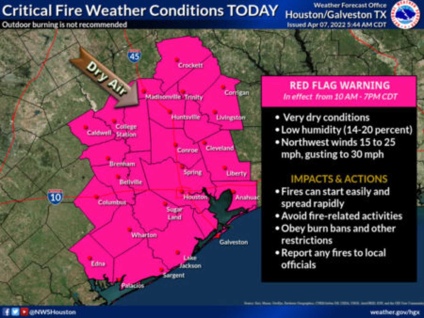
This summer, Houston received ample rainfall from frequent storms, which benefited the region. However, as autumn sets in, the effects of that rain wane. Current weather patterns indicate that the elevated risk for human-caused wildfires is particularly significant today and possibly tomorrow.
Residents are advised to exercise caution outdoors to prevent any incidents that could lead to fires. Fortunately, wind speeds are below the criteria for a Red Flag Warning, but this serves as a reminder that Houston has faced wildfires in the past.
Following tomorrow, humidity levels are expected to increase, which should help reduce the wildfire risk. There may be a brief cool front next week, but for today, fire risks are at their highest.
The forecast suggests little to no rain over the next 7 to 10 days, with daytime highs ranging from the upper 80s to low 90s. The morning lows are projected to remain in the lower 60s tomorrow, gradually rising to mid to upper 60s next week. Overall, residents can expect sunny weather along with occasional ozone alerts and persistent allergy challenges.


