News
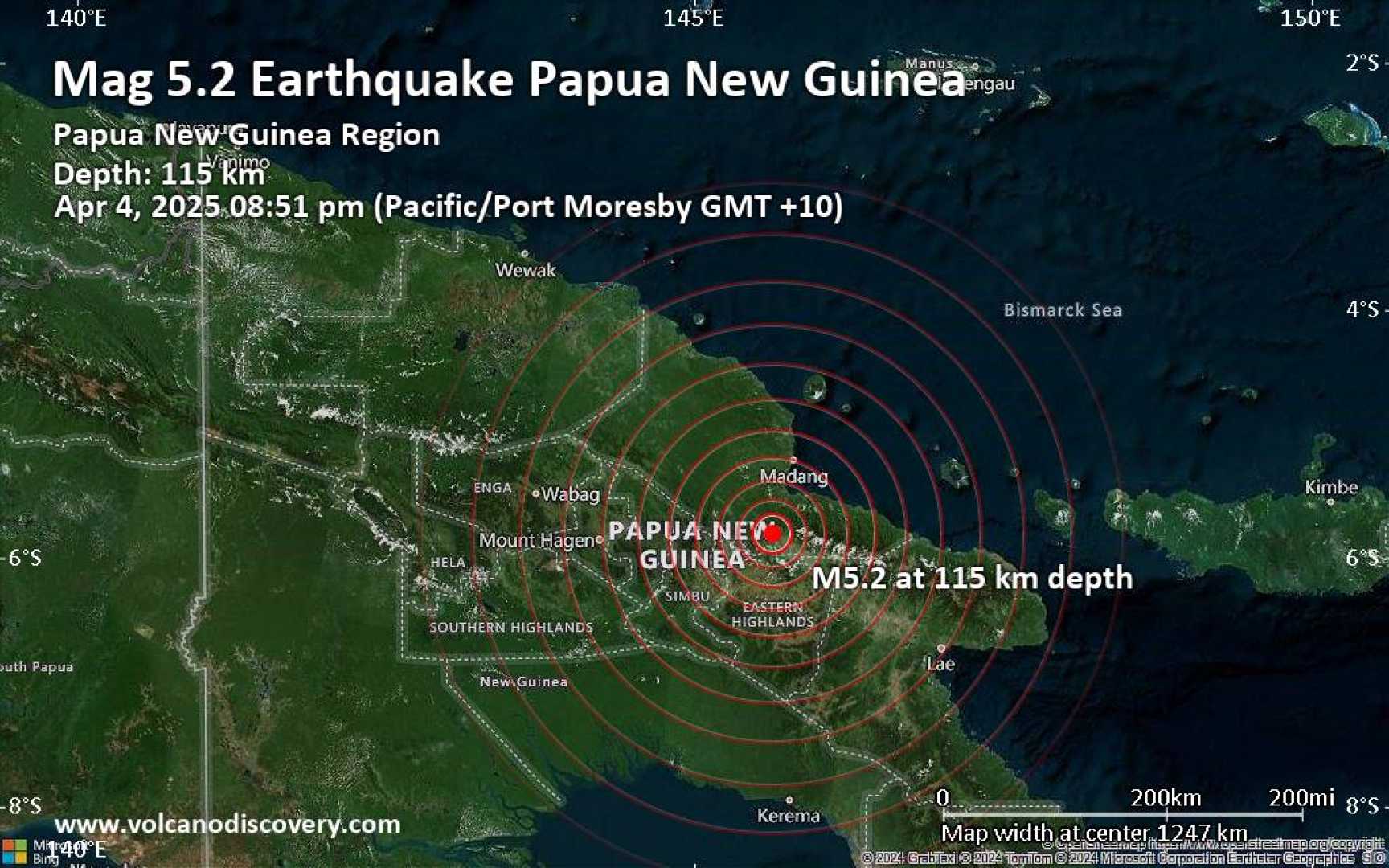
Magnitude 7.2 Earthquake Strikes Near Papua New Guinea, April 5, 2025

PORT MORESBY, Papua New Guinea (AP) — A powerful magnitude 7.2 earthquake rattled the Solomon Sea, near the coast of Papua New Guinea, early Saturday morning, April 5, 2025, at 6:05 a.m. local time (GMT +10). The quake struck at a depth of 33 kilometers (21 miles), with its shallow depth contributing to the intensity of shaking felt by residents near the epicenter.
The United States Geological Survey (USGS) confirmed the earthquake’s magnitude and reported that it was widely felt across the region. Preliminary data indicated that over 730,000 residents might have experienced the tremor.
Approximately 39,500 people were in areas where moderate shaking was reported, while about 480 individuals faced stronger shaking classified as intensity VI on the Modified Mercalli Intensity (MMI) scale. The town of Kimbe, located 183 kilometers (114 miles) from the epicenter, is estimated to have experienced moderate shaking.
Seismologists have indicated that the intensity felt from this earthquake is due, in part, to its shallow depth. A deeper quake of similar magnitude typically results in less perceived shaking. “The depth of a quake significantly influences how strongly it is felt in surrounding areas,” said a USGS spokesperson.
While initial reports indicate that some damage may have occurred, assessments regarding structural impacts are ongoing. There have been no immediate reports of fatalities associated with the quake, which is being classified as a low-risk event concerning casualties and economic losses. The USGS has issued a green alert, indicating a low likelihood of significant damage.
As reports from local residents come in, it’s noted that many experienced light to moderate shaking, with varying reports collected from as far as 611 kilometers (379 miles) away. The majority of reports have come from Port Moresby, where witnesses detailed light shaking sensations.
USGS officials mentioned that aftershocks following a major earthquake, such as this, are likely, and they will continue to monitor seismic activity in the region. “Aftershocks can present risks, especially to structures that may have sustained damage from the initial quake,” they added.
The earthquake represents the strongest seismic event in the region in over six years, with the last similarly potent earthquake logged in May 2019. According to historical data, the most significant earthquake recorded in this area was an 8.1 magnitude quake in 1971.
As updates and assessments continue, local authorities have urged residents to remain vigilant and to report any damages they may encounter.


