News
Severe Storm Sparks Evacuations, Flash Flood Warnings in Los Angeles
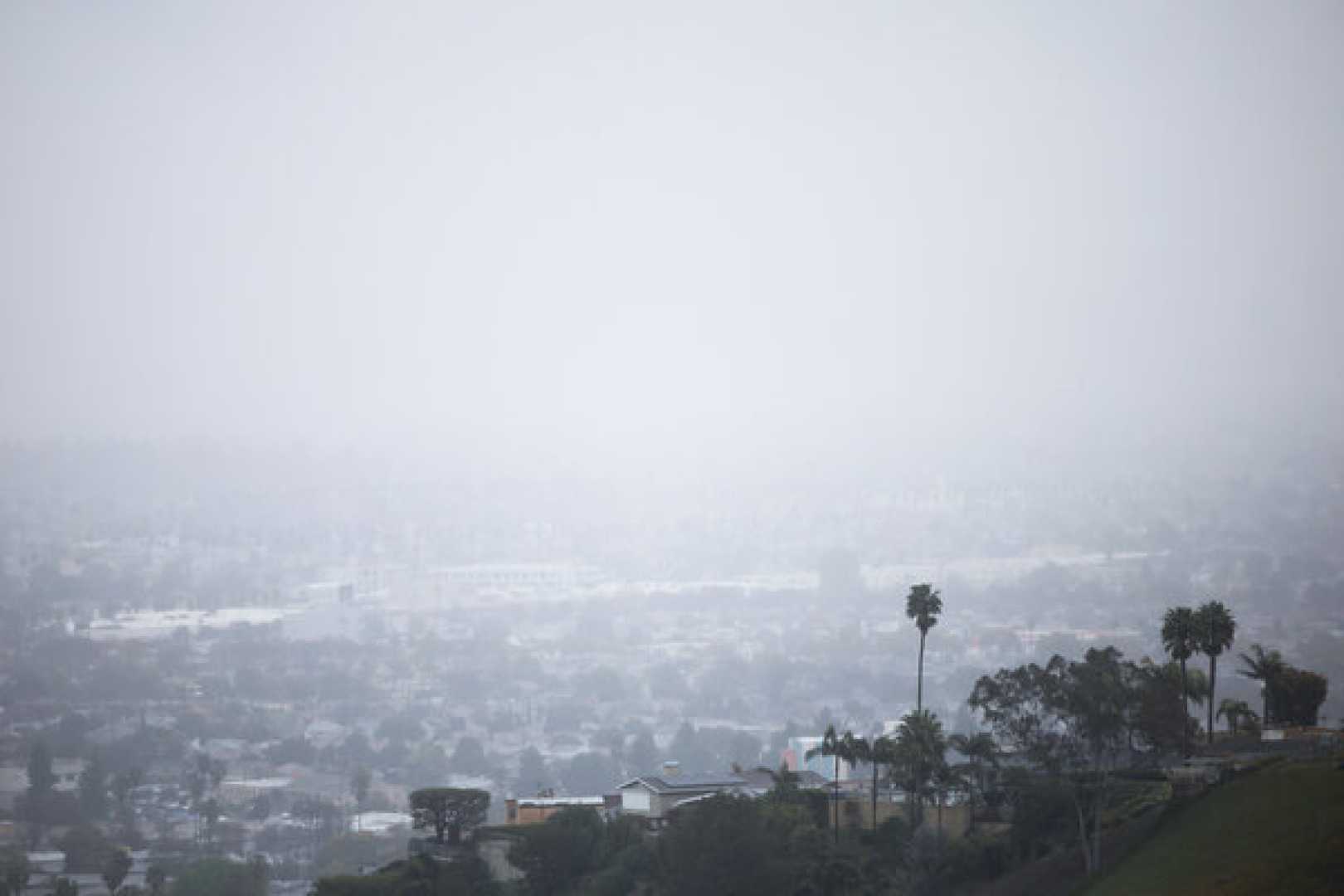
LOS ANGELES, Calif. – A major storm is set to hit Los Angeles County today, prompting the National Weather Service (NWS) to issue severe thunderstorm and flash flood warnings, with effects expected through Friday morning. Heavy rains and gusty winds, potentially exceeding 70 mph, threaten residents in burn scar areas, where mudslides and debris flows are a critical concern.
The NWS issued a severe thunderstorm warning effective until 5:30 p.m. for regions including Los Angeles, Glendale, and Santa Clarita, with rain rates forecast to reach up to 1 inch per hour. The NWS warns of a high risk for life-threatening debris flows in areas such as Malibu and Pacific Palisades, where extensive tree and structural damage is a possibility.
The warning comes in response to significant rainfall that is predicted to deliver 1 to 3 inches across coastal and valley regions, with 3 to 6 inches anticipated in the foothills and mountains. The storm is expected to peak between 3 p.m. and 10 p.m. today, coinciding with hazardous weather conditions.
According to NWS Meteorologist Ryan Kittell, “Thursday is just not a great day to be on the road.” He recommends that residents in areas prone to flooding consider evacuating before the storm intensifies. “If you have an option to go somewhere else, that’s great,” Kittell advised.
Local law enforcement has issued mandatory evacuation orders for 106 homes in the Palisades area, with additional homes in Malibu and the Sunset Fire zone also under similar orders. Los Angeles Police Chief Jim McDonnell stated that officers are actively notifying residents and ensuring compliance with evacuation protocols.
Mandatory evacuations were also ordered in areas near the Airport Fire in Orange County, affecting Trabuco Canyon and surrounding communities. Sheriff Robert Luna indicated that a targeted approach is being used, focusing efforts on homes deemed to be at heightened risk of flooding and mudslides.
The NWS noted that road closures have begun to occur in Malibu, with several highways blocked due to flooding and debris. As of this morning, the area had already recorded significant rainfall, with estimates indicating that the Malibu hills received around 2 inches by early afternoon.
In a statement regarding the storm’s intensity, the NWS cautioned that, “heavy rainfall will cause extensive and severe flash flooding of creeks, streams, and ditches, particularly in burn scar areas.” They reiterated the importance of heeding evacuation orders, as authorities anticipate severe weather conditions over the coming hours.
As the storm approaches, city and county crews are mobilizing to prepare for potential emergencies, clearing storm drains, and setting up barriers in vulnerable locations. “Our city departments are on high alert,” said Los Angeles Mayor Karen Bass. Plans are in place for swift-water rescues should the need arise.
Weather experts predict that malicious weather patterns could also lead to water spouts and isolated tornadoes, increasing the unpredictability of the storm’s impact. Residents are urged to stay informed and follow directives from local authorities.
The storm, having developed through an atmospheric river system, represents one of the strongest and most damaging storm events this season for Southern California, with officials bracing for a prolonged rainfall that could last well into Friday morning.


