News
Severe Storms Sweep Across U.S., Three Dead and Tornado Threat Looms
AMARILLO, Texas — A severe storm system sweeping across the United States has resulted in three fatalities and continues to strengthen as it moves through the central region on Friday. The storm brings hurricane-force winds, creating blinding dust storms and escalating wildfire risks, marking the beginning of a notably hazardous weekend for millions.
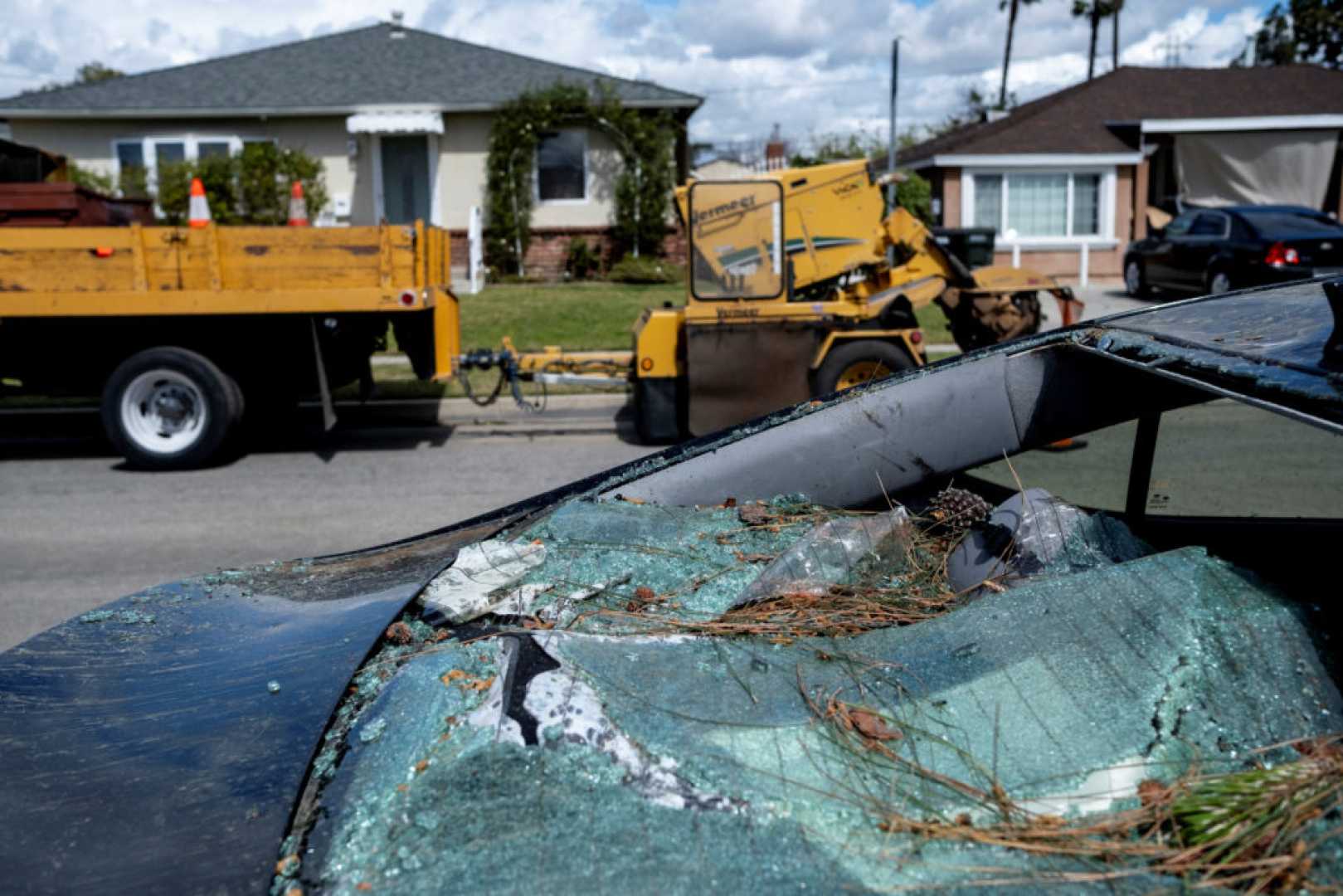
Hurricane-force winds exceeding 80 mph affected the southern plains on Friday, leading to at least three deaths in Texas from vehicle collisions linked to dust storms. Over 168,000 homes and businesses lost power in Texas and Oklahoma, as fierce winds and dust storms toppled trucks, trees, and power lines, according to PowerOutage.us.
Evacuations were triggered by rapidly spreading wildfires in Texas and Oklahoma on Friday afternoon, fueled by high winds amid extremely dry conditions. The National Weather Service (NWS) reported dangerous wildfires moving quickly in areas including Leedey and Norman, Oklahoma. A fire in western Stillwater prompted evacuations, although Oklahoma State University’s main campus remains secure. Nearby in Lake Tanglewood, Texas, just outside of Amarillo, evacuations were also underway.
The threat of tornadoes escalated with a Level 5 out of 5 severe weather risk issued for Mississippi and Alabama on Saturday, signaling conditions favorable for a “likely outbreak of tornadoes,” as noted by the Storm Prediction Center (SPC). This high alert mimics warnings issued during deadly past storms and has occurred in less than 1% of days over the past 25 years, as per CNN’s analysis of NOAA data.
Forecasters warned that severe tornadoes, classified as EF4 or stronger, could potentially cause destruction across a wide area. Although only 1% of tornadoes reach this intensity, they account for 66% of all tornado-related fatalities, according to the SPC.
As a result of the severe weather threat, emergency declarations were issued by the governors of Alabama, Kansas, and Missouri.
Severe storms are expected to intensify Friday afternoon across the Midwest, impacting more than 900 miles, reaching from Louisiana to Minnesota overnight. A Level 4 risk for severe storms is in effect for over 12 million people in the region, including cities such as Des Moines, St. Louis, and Memphis.
Additional warnings include significant wind gusts that may reach up to 100 mph in areas under the Level 3 and 4 warnings. A lower threat of severe storms persists from Louisiana, including New Orleans, up to Minnesota, including Minneapolis.
The line of severe storms is projected to continue eastward, poised to deliver intense winds and rain throughout the night. The NWS advised residents to stay alert for warnings, emphasizing the importance of knowing where to seek shelter should a warning arise.
“Make sure to have multiple ways to receive alerts, including a method to be notified if you are sleeping,” the NWS urged residents in central Illinois. “You must know where to go in case a warning is issued,” added NWS officials.
Tornadoes and large hail are also possible, with most at risk coming from the western Illinois area down to northeastern Mississippi and Louisiana, including St. Louis, Memphis, and Baton Rouge. Meteorologists expressed heightened confidence in the severe threats presented by Saturday’s storms.
“Today could turn out to be one of the most prolific severe weather outbreaks in recent memory for the two-state region,” said the St. Louis meteorological bureau.
The serious tornado threat extends far beyond initial expectations, reaching parts of Mississippi, Alabama, and into Illinois and Iowa late Friday into Saturday morning. Nighttime tornadoes have been found nearly twice as likely to result in fatalities compared to daytime events, based on SPC data.
The hazards will only increase into Saturday, as the SPC points out that areas in the south face a “particularly volatile scenario for destructive severe storms.”
Significant tornadoes are expected to begin forming Saturday morning, amplifying as the day progresses, with warnings for parts of central and southern Mississippi and Alabama.
This represents the highest level risk issued for severe storms since last May and only the fifth such designation in five years.
As this threat looms, damaging winds and hail could continue through the night into early Sunday. Severe storms will move east on Sunday, primarily bringing heavy rain and damaging winds across much of the Eastern Seaboard.
Preliminary data reported at least three fatalities in Texas due to dust storms, causing tragic vehicle crashes. Two deaths occurred in separate incidents in Parmer County, while another fatality was confirmed in Gray County. Each incident impacted multiple vehicles, attributing to visibility loss caused by potent winds.
The NWS also highlighted elevated fire conditions across Texas and Kansas, as critical fire weather warnings were issued, suggesting wildfire outbreaks might arise.
Evacuations are ongoing in Norman, Oklahoma, where a significant dust storm and multiple wildfires threaten safety. The Windmill Fire in Roberts County, Texas, reportedly grew rapidly from an estimated 1,500 acres to around 9,500 acres within hours.
Additionally, a rare “particularly dangerous situation” fire warning was issued for parts of Kansas, with forecasts indicating a “catastrophic fire risk” due to extreme conditions. They cautioned that very real risks of property damage or loss of life could manifest in the impacted areas.
The northern extent of the storm will face its challenges as snow and possible ice mix arrive, set to impact the central and northern U.S. late Friday. While total accumulations likely remain minor, the storm’s high winds will lead to blizzard-like conditions.
“This is definitely a dangerous situation where risks for property damage and loss of life could occur,” emphasized the NWS.


