News
Severe Weather Alerts: Understand Watches and Warnings
ATLANTA, Ga. — As spring ushers in warmer weather and longer days, the threat of severe weather, including tornadoes, large hail, and flash floods, increases across many regions in the United States. The National Oceanic and Atmospheric Administration’s Storm Prediction Center (SPC) plays a crucial role in issuing watches and warnings to prepare the public for these potential weather threats.
A watch is issued hours ahead of a storm system when conditions are favorable for severe weather. It alerts residents in affected areas to stay informed and monitor weather updates. These watches cover larger regions, potentially spanning multiple counties or states. For example, a tornado watch signifies that the environment is conducive for tornado formation, prompting individuals to prepare for possible action.
In contrast, a warning indicates imminent danger and is issued when a severe weather event has been confirmed by radar or spotted on the ground. Warnings cover much smaller areas, such as a city or county, and require immediate action from residents. For instance, if a tornado warning is in effect, individuals should seek shelter in the lowest level of a building, preferably in an interior room away from wind exposure.
“It’s important for people to understand the difference between a watch and a warning,” said Brad Nitz, Chief Meteorologist for Severe Weather Team 2. “A watch is a reminder to be prepared, while a warning means you need to take immediate action to protect yourself.”
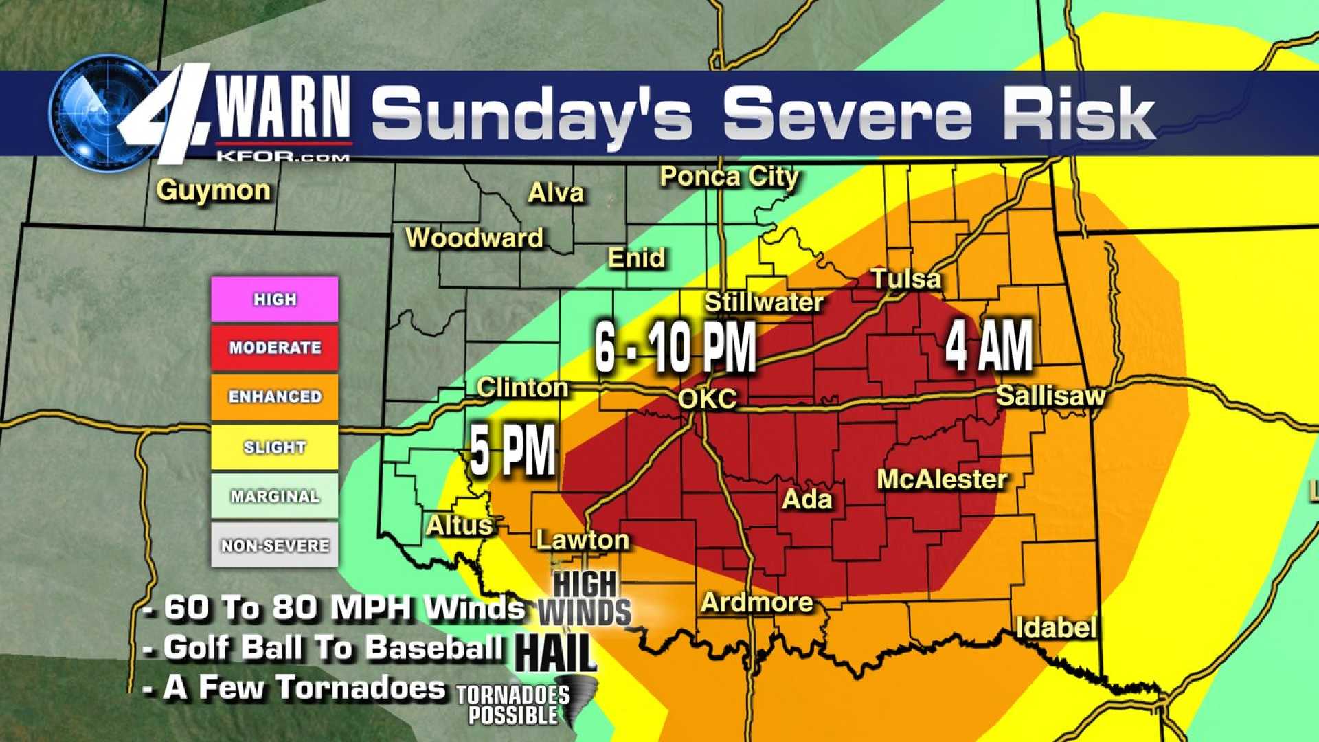
The SPC also provides storm outlooks based on a 1 to 5 rating system to categorize severe thunderstorms. Ratings range from a ‘marginal’ threat at 1 to a ‘high’ threat at 5, with the latter indicating a significant risk of widespread damaging winds or tornadic activity. These outlooks can be issued up to eight days in advance, helping people make informed decisions during severe weather events.
Monitoring the atmosphere for favorable conditions is a primary focus for meteorologists, who analyze models to predict storm development. They assess moisture levels and cold front activity, which can fuel thunderstorms.
Severe Weather Team 2 emphasizes preparedness as severe weather systems impact regions across the Midwest, Plains, and South. Meteorologists warn of conditions that could lead to destructive outcomes, including supercell storms capable of producing intense tornadoes.
“As we shift into a high-risk day for severe weather, knowing your county and having a storm plan in place is crucial,” said Nitz. “In times like these, multiple sources of receiving warnings—like weather apps or emergency alerts—can save lives.”
With the ongoing transition into the spring season, meteorologists recommend that families establish a safety plan, ensure their storm shelters are accessible, and stay informed through reliable weather reports.
Students at various universities, including Oklahoma State University, have been advised to shelter in place when approaching severe weather. Early alerts help to minimize panic and facilitate safety measures, as demonstrated recently when students were quickly ushered indoors during a nearby wildfire event.
As extreme weather patterns become more common, experts are urging communities to remain vigilant and proactive in addressing the evolving risks that come with shifting climates and seasonal patterns.


