News
Severe Weather Changes Expected as Rain and Thunderstorms Approaches Detroit
Detroit, MI – A significant weather shift is set to take place tonight and into Tuesday for the Detroit area, as rain showers and thunderstorms are expected to break a spell of dry and warm conditions.
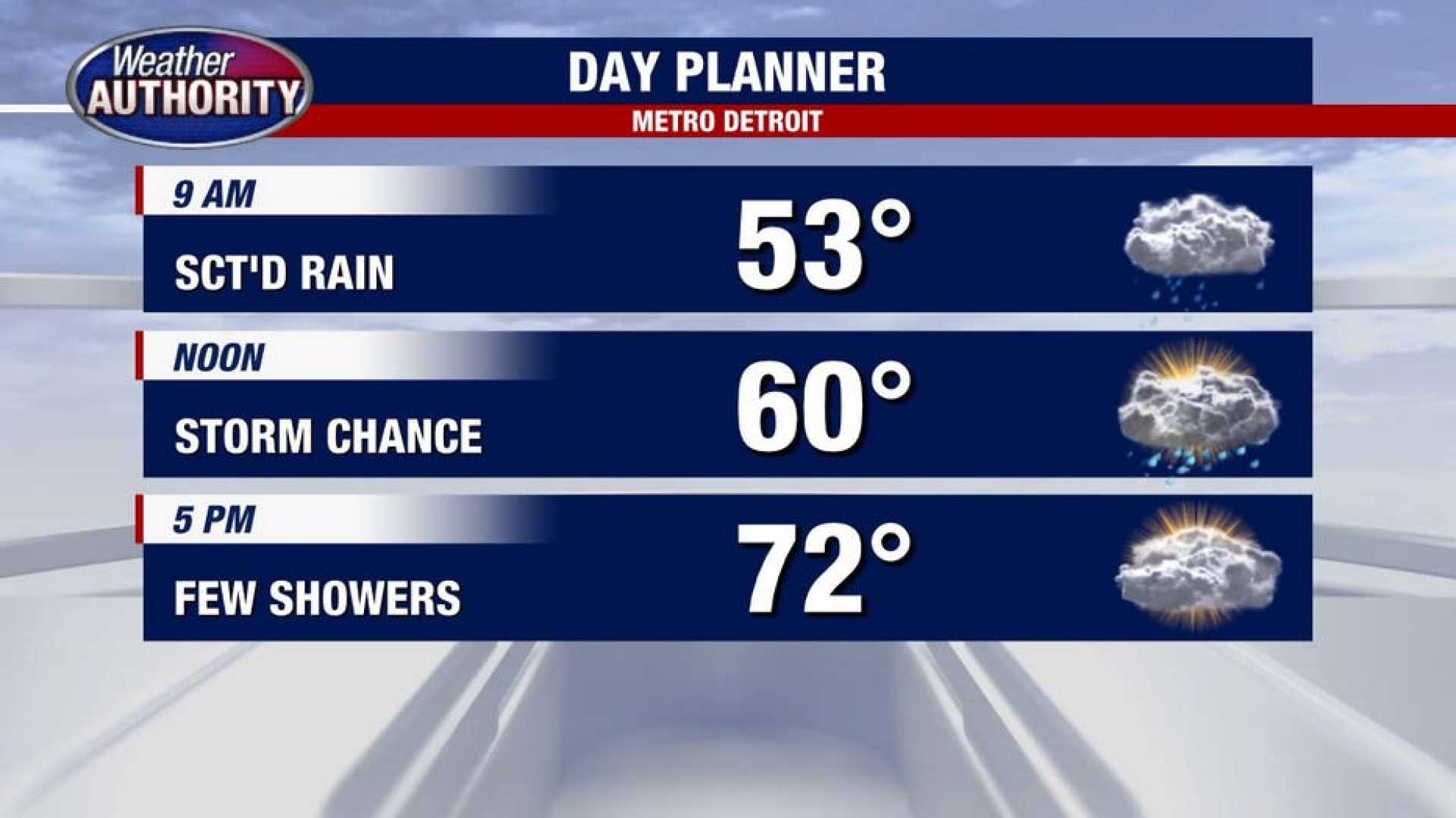
According to the 4Warn Weather team, overnight temperatures are anticipated to drop to around 65 degrees as clouds increase and rain begins to fall. Thunderstorms may also accompany the precipitation, particularly in the morning hours.
On Tuesday, the forecast calls for mostly cloudy skies and a continued chance of rain, with highs around 67 degrees. Meteorologists warn that temperatures will steadily decline throughout the day, possibly dropping into the mid-50s by late afternoon.
“We expect a few thunderstorms and rain showers mainly in the morning, winding down by mid-to-late afternoon,” a meteorologist said. “Colder air is moving in as we progress through the day.”
As the rain clears overnight Tuesday, temperatures are projected to plummet to around 45 degrees by Wednesday morning. Sunshine is expected to return, but high temperatures will only reach 63 degrees.
High pressure will settle over the region mid-week, maintaining cooler temperatures for the rest of the week. Thursday night could be the coldest yet, with overnight lows expected to drop into the upper 30s.
Temperatures are forecast to gradually warm back into the upper 60s by the weekend, with sunny conditions persisting through Saturday and Sunday. The next chance for rain may appear early next week as weather patterns shift again.
For the remainder of the week, high temperatures will strive to reach the lower 70s as skies remain mostly clear. Meteorologists advise locals to stay updated on the weather as conditions change.


