News
Severe Weather Hits Phoenix with Hail and Flood Risks
PHOENIX, Arizona — The West Valley faced heavy rain and hail on Wednesday, with more storms expected. The National Weather Service has extended the First Alert Weather Day through Thursday due to a flood watch effecting parts of north Valley, including Scottsdale and Cave Creek. The watch is in effect until 6 a.m.
The area saw a series of thunderstorms move from the southwest, reaching locations such as Avondale, Glendale, and Peoria on Wednesday afternoon. Viewers shared videos showing heavy rain and hail blanketing the streets, with the severe weather forcing evacuations in west Phoenix.
The storms also impacted travel, causing delays at Phoenix Sky Harbor Airport. The FAA issued a temporary ground stop for incoming flights, although it was lifted before 6 p.m. Some departing flights faced delays of over an hour.
At the height of the storm, more than 6,600 customers lost power, particularly in Glendale and west Phoenix. As of 9 p.m., under 800 customers remained without electricity across the area.
With the ground saturated from previous rain, further precipitation raises flood concerns. Temperatures are expected to remain in the mid-60s over the next few days, with drier conditions anticipated to return next week.
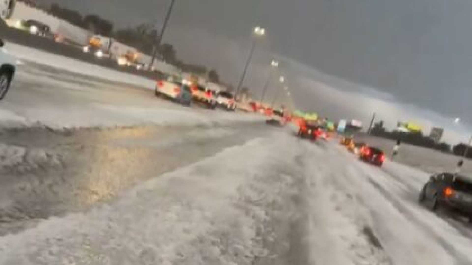
In the High Country, snow levels are expected to drop to around 6,500 feet through Thursday, potentially adding another 1-2 inches in places like Flagstaff. Heavier accumulations are also forecast for eastern Arizona.
Looking ahead, another Pacific weather system is expected to bring additional moisture to the state on Thursday night and early Friday morning. Rain chances for the Valley this weekend are around 30%, but the exact amounts remain uncertain. By next week, the weather is expected to calm down with temperatures returning to the 70s.


