News
Southeast Texas Faces Heat and Hazy Conditions from Saharan Dust
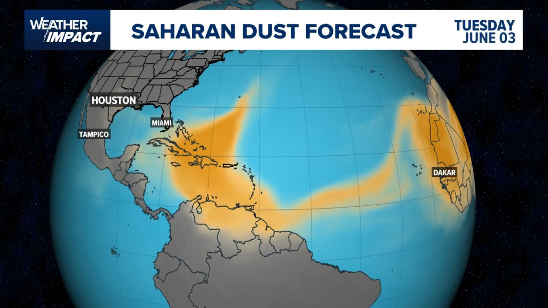
HOUSTON — Southeast Texas is experiencing hot and hazy conditions today due to a plume of Saharan dust and persistent dry air. There are no major weather threats, but rain chances remain low, forecasters report.
The dryness is expected to persist into the weekend, with only isolated showers possible this afternoon. However, meteorologists predict that heavier downpours and scattered thunderstorms will return Saturday and Sunday as moisture begins to move into the region.
This weekend, the rain chances will increase, particularly in the afternoons and evenings. The moisture could lead to storms coming in waves, and some areas may see localized heavy rainfall.
Friday is expected to stay mostly dry with temperatures peaking in the mid-90s and heat index values nearing 100. Some regions, such as Katy Freeway, could see brief rainfall, though most areas may only receive minor accumulations.
As for the weekend, storm chances are higher on Sunday, with total rainfalls ranging from 1 to 3 inches. Though the rain isn’t expected to be uniform, areas hit by heavy showers may experience brief flash flooding.
Additionally, the air quality will remain hazy today, particularly visible along the coast and in Galveston due to the Saharan dust. Residents with respiratory conditions are advised to remain indoors if possible.
By early next week, a high-pressure system will settle over Texas, potentially suppressing storms again. This will result in a return to hot conditions, with high temperatures approaching the triple digits and a heat index likely soaring even higher.
The approaching week will see rain chances drop again, returning to just 20-30%—a typical figure for this time of year, meaning outdoor plans should remain safe despite the heat.


