News
Spring Begins with Strong Winds and Snow Flurries in the Carolinas
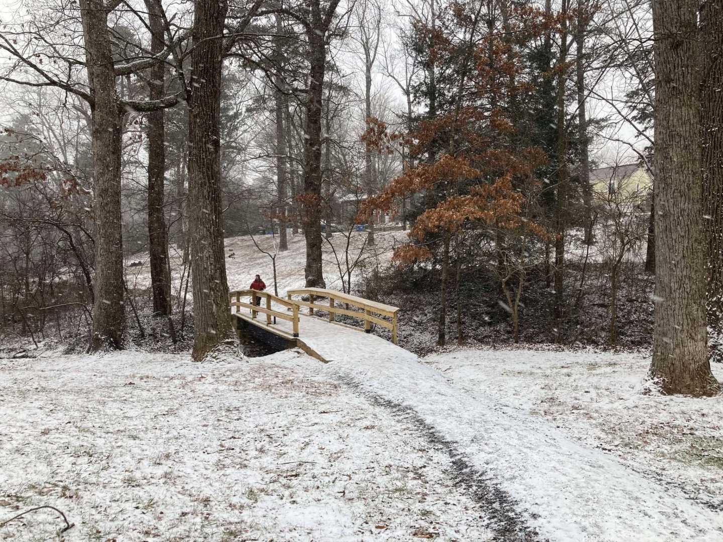
CHARLESTON, S.C. — Spring has officially arrived in the Carolinas, but the season’s start comes with a mix of gusty winds, fire warnings, and even snowfall in the mountains. A Red Flag Fire Alert was issued in South Carolina as regions experience dry fuels and wind gusts reaching 30 to 50 mph.
On Thursday evening, flurries are expected in the higher elevations, particularly in the Smoky Mountains, where some areas may see light accumulations of snow. Temperatures are anticipated to drop significantly overnight, prompting reminders for residents to let faucets drip to prevent pipes from freezing.
“While spring is here, temperatures are expected to plummet, especially in the mountains,” said a meteorologist from the National Weather Service. “It’s crucial for residents to prepare for potential freezing conditions.”
For most of the Upstate, lows will hover slightly above freezing, with Friday forecasted to bring mostly sunny skies and calming winds. High temperatures are predicted to reach around 66 degrees.
As conditions shift in Central Oregon, Friday has already shown a cloudy and breezy climate, including light snow and rain showers. The region is currently experiencing a dynamic weather pattern, driven by an upper-level trough and a cold front bringing colder air from the Gulf of Alaska.
“This pattern allows for widespread precipitation, particularly in the mountains where significant snow accumulations are expected to continue,” explained a weather expert. “Lower elevations will see a mix of rain and possible snow.”
The forecast indicates fluctuating snow levels, with lower areas briefly experiencing rain and light snow showers. Weather officials also warn of slick roads due to overnight cooling.
“Travelers should be aware of winter driving conditions as accumulations can lead to hazardous situations,” the forecaster added. “Our next systems are weaker, but they still bring the chance of snow and rain throughout the weekend.”
Looking ahead, a broad ridge of high pressure is expected to expand into the Pacific Northwest early next week, resulting in warmer temperatures and drier conditions, with highs reaching the 70s by Monday.
As conditions stabilize and after the warming trend peaks, meteorologists anticipate a short period of additional rain and possible strong winds toward Tuesday night and Wednesday, reminding residents to remain vigilant.
“While we look forward to warmer days, it’s essential to stay prepared for the unpredictable late March weather,” the meteorologist warned. “Gathering information from reliable forecasts will be key.”


