News
Storms and Rain Forecast for St. Patrick’s Day Weekend
CINCINNATI, Ohio — Rain, wind, and thunderstorms are expected to return this weekend as the weather pattern shifts. After a warm week, the Tri-State area will experience a cooler, wetter forecast just in time for St. Patrick's Day.
According to the WCPO‘s 9 First Warning Weather team, temperatures reached near record highs on Tuesday, with mild morning temperatures in the mid-40s expected on Wednesday. The forecast indicates a warm day on Thursday, with a high near 73 degrees and a slight chance of a spotty shower, mainly in Northern Kentucky.
Friday promises to be the warmest day of the week, hitting a high of 75 degrees. It coincides with the Lunar Eclipse, or “Blood Moon,” which will peak just before 3 a.m., though the skies should remain mostly clear throughout the day.
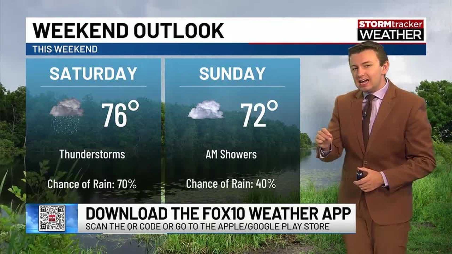
However, the weekend forecast brings a stark contrast. Saturday will still see warm temperatures but will also be marked by the arrival of two waves of rain and storms. The first wave is expected to hit in the morning, creating potential delays for those planning to attend the St. Patrick’s Day Parade.
“The storm intensity could ramp up in the evening hours, with the heaviest rain expected overnight into early Sunday,” warned the weather team.
On St. Patrick’s Day, temperatures will drop significantly, creating a chilly but dry day for celebrations.
For outdoor plans, residents are advised to keep an eye on radar updates and prepare for changing conditions.


